
What is recorded here
Cropmark of two small ditch barrows (approx. diam. 4m) with cropmarks of other features to S visible on Google earth aerial imagery. Could be the cropmarks left behind by small livestock feeders as there appear to be a group of similar cluster of cropmarks to SSE on Digital Globe aerial photographs.
See attached image taken from Google Earth aerial photographs taken 28/06/2018
Compiled by: Caimin O'Brien based on details provided by Jean-Charles Caillère
Date of upload: 30 April 2019
A local fairy fort (ringfort/rath); wider significance not recorded.
The monument record does not grant public access. Check the route and ask the landowner before entering private land.
- What survives
- Recorded monument
Places near here
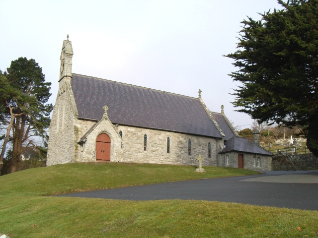 Saint Patrick's Catholic Churchchurch/chapel · 503 yd
 Sweet ChestnutSweet Chestnut · 912 yd
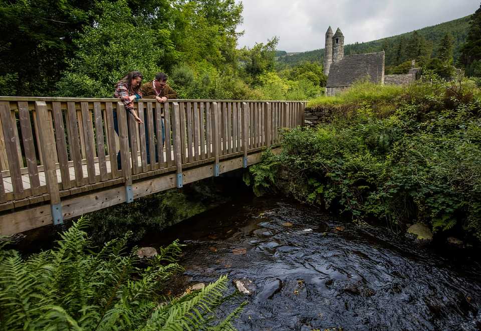 Anacrivey WoodForest · 1081 yd
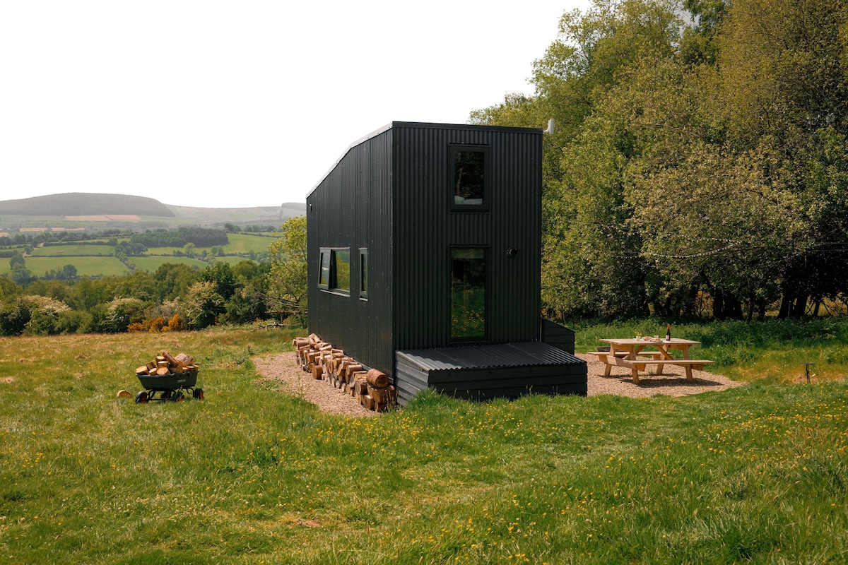 Enclosure in BarnamireEnclosure · 1356 yd
 St. Molings WellHoly well · 1382 yd
 IndicatedCastle, motte · 1484 yd
 Powerscourt Housefarmyard complex · 1568 yd
 Powerscourt EstateHeritage attraction · 1675 yd
 Prince William's SeatMountain / peak · 1.6 mi
 MaulinMountain / peak · 2.3 mi
 Lover's LeapNamed rock · 2.3 mi
 Graveyard in BallymanGraveyard · 2.7 mi
Other information
Photo: Credit not shown in the picture search · Rights wording not checked; contact us if this picture should be removed