What is recorded here
Grave Yard stands on a steep Kildare hilltop where an Early Christian monastery and later medieval borough once lived. Its stone wall encloses a ruined church, round tower, broken High crosses, and grave markers spanning the 18th century to today. The place is both graveyard and memory field, preserving layers of worship, death, and town life in one exposed summit.
On a moderately steep-sided hilltop (OD c. 150m), on the site of an Early Christian monastery (KD028-049001-) and later, medieval borough (KD028-049----). A subrectangular area (c. 75m E-W; c. 40m N-S) is enclosed by a stone wall and accessed through a gate at the NW corner. Legible grave markers date from the 18th-century to the present. The interior contains a ruined medieval church (KD028-049005-), a round tower (KD028-049006-), and fragments of three High crosses (KD028-049002-, KD028-049003- and KD028-049004-) (Bradley et al. (1986 vol. 4, 391)
Compiled by: Gearóid Conroy
Date of upload: 17 May 2013
The monument record does not grant public access. Check the route and ask the landowner before entering private land.
- What survives
- Recorded monument
Places near here
 Round TowerRound tower · 12 yd
 Church (in Ruins)Church · 12 yd
 Stone CrossesCross, High cross · 20 yd
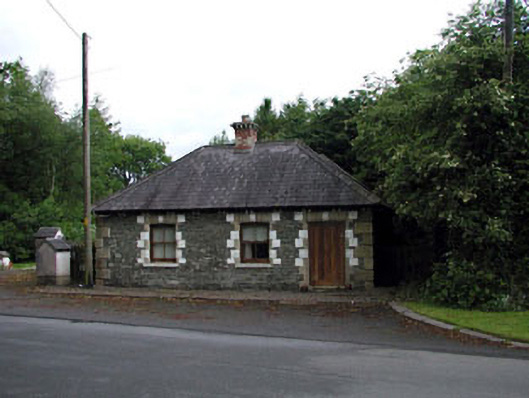 Sunnyhill Housegate lodge · 1.2 mi
 Castlefish (in Ruins)Castle, unclassified · 1.4 mi
 Castle in RuinsCastle, tower house · 1.5 mi
 Coillte ForestForest · 1.5 mi
 1798 memorial stoneMonument · 1.8 mi
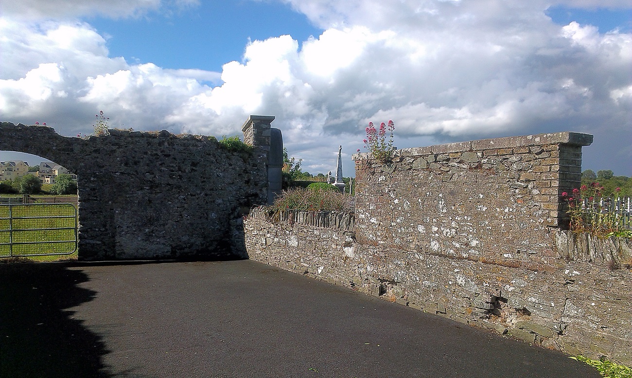 New Abbey WoodsWood · 1.9 mi
 Newbridge SilverwareMuseum · 4.9 mi
 Battle of Kilrushbattle · 5.3 mi
 Gorden Bennet Race memorialMemorial · 8.6 mi