What is recorded here
Marianne said the fort was built for the fairies before humans learned to stack stones. They made a circle large enough for dancing, a bank high enough for watching, and a ditch deep enough for keeping out ordinary people. The claim still sounds plausible because the shape remains clear atop the rise. Human hands may have followed fairy hands, using the same measure and the same purpose.
In pasture, atop natural rise. Circular area (diam. c. 45m) defined by heavily overgrown earthen bank (int. H 1.25m) N->SW; scarp elsewhere; external fosse (D 0.5m) N->SSE. Fosse visible as cropmark to W. Bank incorporated into field fence to S. Boreen runs N-S outside fosse to E. Interior covered in rough grass and thistles.
The above description is derived from the published 'Archaeological Inventory of County Cork. Volume 4: North Cork' (Dublin: Stationery Office, 2000). In certain instances the entries have been revised and updated in the light of recent research.
Date of upload/revision: 14 January 2009
The monument record does not grant public access. Check the route and ask the landowner before entering private land.
- What survives
- Recorded monument
Places near here
 Castletown Castle (Site of)Castle, unclassified · 590 yd
 farmyard complexfarmyard complex · 590 yd
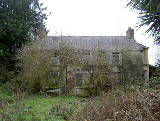 Oldcastletown Househouse · 693 yd
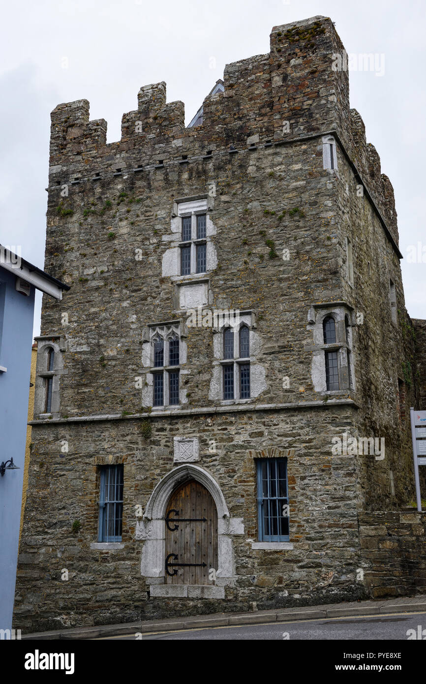 Fulacht fia in OldcastletownFulacht fia · 755 yd
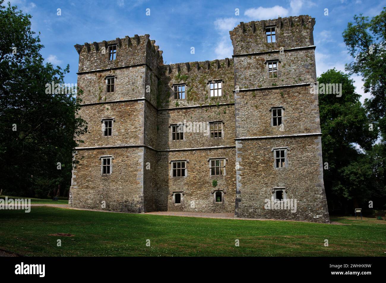 Man-made underground passage in OldcastletownMan-made underground passage · 1398 yd
 Ballyenehan Castle (Site of)Castle, unclassified · 1.2 mi
 Flat cemetery in Ballyenahan NorthFlat cemetery · 1.5 mi
 North Meadow WoodForest · 2.1 mi
 Kilclooney WoodWood · 2.2 mi
 CarrigeenamronetyMountain / peak · 2.8 mi
 Coolfree MountainMountain / peak · 3.7 mi
 ToberpatrickSpring · 4.4 mi