
What is recorded here
Nuns Island stands in the centre of Lough Lene on an island that was possibly a crannóg (WM008-110----). Castle Island lies 560m to SSW with Turgesius Island 330m to SSE. According to O'Sullivan (2004, 110) 'this crannóg is based on a natural island that may have been enhanced and kerbed during the early medieval period. As with the nearby Turgesius Island and Castle Island, it is associated in local folklore with Vikings and its name also suggests an early ecclesiastical function'. A church possibly a nunnery based on the placename evidence is depicted standing on this island on the 1657 Down Survey map of St. Fechin's parish map (NLI MS 723-4). Annotated 'a church' on the 1657 Down Survey map of Fore barony (ibid.).
Compiled by: Caimin O'Brien
Date of upload: 18 July 2019
The monument record does not grant public access. Check the route and ask the landowner before entering private land.
- What survives
- Recorded monument
Places near here
 Castle IslandIslet · 652 yd
 CaltraghEcclesiastical enclosure · 1214 yd
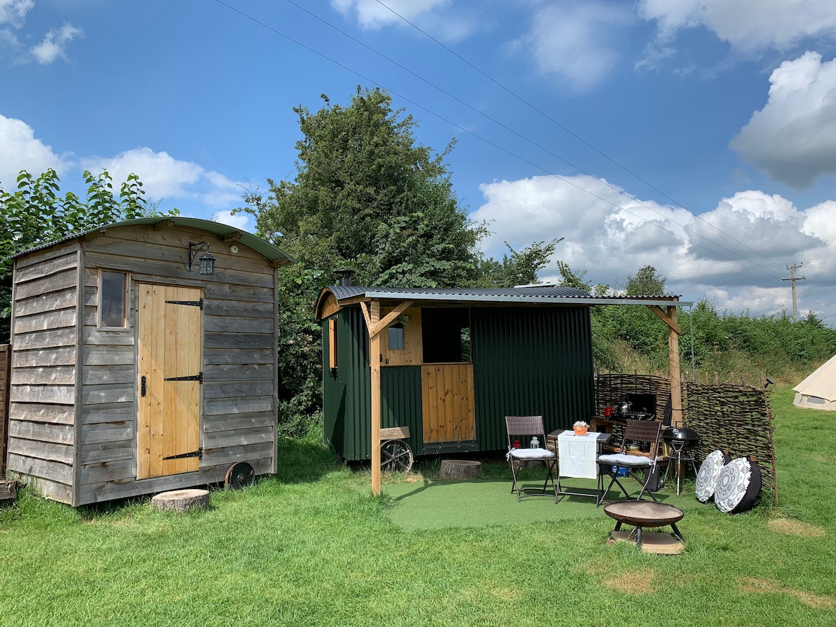 Hut site in CummerstownHut site · 1528 yd
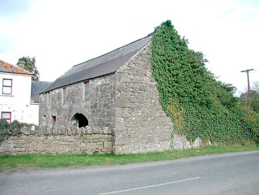 outbuildingoutbuilding · 1737 yd
 Saint Mary's Catholic Churchchurch/chapel · 1.0 mi
 South East GateHeritage attraction · 1.1 mi
 Christians Castle in ruinsCastle, unclassified · 1.1 mi
 MoatCastle, motte and bailey · 1.2 mi
 St Feichin's MillHeritage attraction · 1.3 mi
 European ashEuropean ash · 1.3 mi
 Ben of ForeMountain / peak · 1.5 mi
 Noggin HillMountain / peak · 2.8 mi
Other information
Photo: Credit not shown in the picture search · Rights wording not checked; contact us if this picture should be removed