What is recorded here
Fairy fort / earthen ringfort in Newtown (Hodgins) is a fairy fort or earthen ringfort in Newtown (Hodgins), County Tipperary, Ireland. It occupies a natural rise sloping east and contains a circular area 32.7 metres north-south by 33.4 metres east-west. Two banks enclose the area with a 3.7-metre ditch between them; the outer bank survives only from south through west to north and is lower than the inner bank. A field boundary crosses the outer bank in the northwest and ends at the ditch.
Situated on a natural rise of ground sloping gradually to the E, in pastureland. A raised circular area (diam. 32.7m N-S; 33.4m E-W) enclosed by two banks and an intervening fosse (Wth 3.7m). The inner bank (Wth 3.7m; int. H 0.8m; ext. H 1.54m) is less pronounced from N-E-S. The outer bank (Wth 5.35m; int. H 1.11m; ext. H 0.56m) only survives from S-W-N and is lower than the inner bank. The interior slopes slightly to the E. A field boundary extends into the NW quadrant, over the outer bank and terminating at the fosse. There are some instances of quarrying in the NW and W sectors and large boulders and stones are dumped on the outer bank at SE. Mature beech trees grow on the inner bank.
The above description is derived from 'The Archaeological Inventory of County Tipperary. Vol. 1 - North Tipperary' compiled by Jean Farrelly and Caimin O'Brien (Dublin: Stationery Office, 2002). In certain instances the entries have been revised and updated in the light of recent research.
Date of upload/revision: 22 September 2008
The monument record does not grant public access. Check the route and ask the landowner before entering private land.
- What survives
- Recorded monument
Places near here
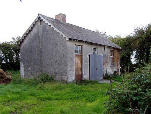 Behamore National Schoolschool · 883 yd
 Behamore CastleCastle · 970 yd
 CastleCastle, ringwork · 986 yd
 Knockanacree WoodForest · 1.3 mi
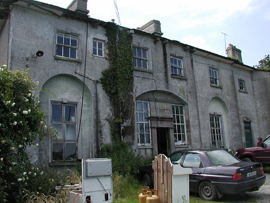 Deerpark Housecountry house · 1.3 mi
 Fulacht fia in CloghjordanparkFulacht fia · 1.5 mi
 Enclosure in OxparkEnclosure · 1.5 mi
 MacDonagh HouseMemorial · 2.0 mi
 Thomas MacDonagh Heritage CentreMuseum · 2.0 mi
 Cangort WoodWood · 2.8 mi
 James Devaney MemorialMemorial · 7.0 mi
 Gibbet HillMountain / peak · 11 mi