
What is recorded here
Situated in gently rolling pastureland, just off the crest of a ridge on land sloping gradually to the SW. A rectangular platform (dims. 22m N-S; 25.3m E-W) defined by a steep scarp (H 1.4m), slight traces of a bank at the SW and SE corners, and faint traces of a shallow external fosse (Wth 2.2m; D 0.1m) except at E where there is no visible trace. The fairly flat interior slopes very slightly to the W.
The above description is derived from 'The Archaeological Inventory of County Tipperary. Vol. 1 - North Tipperary' compiled by Jean Farrelly and Caimin O'Brien (Dublin: Stationery Office, 2002). In certain instances the entries have been revised and updated in the light of recent research.
Date of upload/revision: 22 September 2008
This remains an important historical record, but the official description says the monument is no longer visible or has been destroyed. The monument record does not grant public access. Check the route and ask the landowner before entering private land.
- What survives
- No visible remains or recorded as destroyed
Places near here
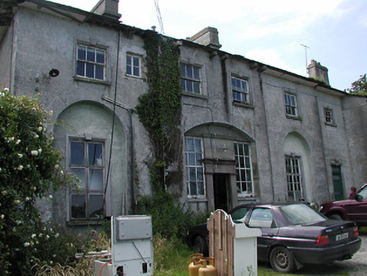 Deerpark Housecountry house · 1374 yd
 Fulacht fia in CloghjordanparkFulacht fia · 1587 yd
 Enclosure in KnockanacreeEnclosure · 1674 yd
 Knockanacree WoodForest · 1735 yd
 Behamore CastleCastle · 1.0 mi
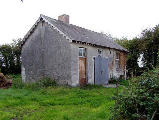 Behamore National Schoolschool · 1.0 mi
 MacDonagh HouseMemorial · 1.5 mi
 Thomas MacDonagh Heritage CentreMuseum · 1.5 mi
 Bawn in BehernaghBawn · 1.7 mi
 Cangort WoodWood · 3.1 mi
 James Devaney MemorialMemorial · 6.6 mi
 Interragh HillMountain / peak · 10 mi
Other information
Photo: Credit not shown in the picture search · Rights wording not checked; contact us if this picture should be removed