What is recorded here
No entrance is visible, which means the fort either hides its door or never needed one. The circular mound sits on an east-facing slope, wrapped in a wide ditch and outer bank, like a small world drawn complete before being forgotten. People may have lived inside the ring while believing the fairies owned the ground beneath it, or the fairies may have used the ring as a stage for dealings no human witnessed. Either way, the shape remains clear enough to stop argument and leave the rest beside the ditch.
Located on the E facing slope of high ground in upland area. Roughly circular raised area (diam 21m; ext. H 0.5m - 1m) enclosed by a wide flat bottomed fosse (Wth 5.5m; ext. H 1m) with external bank (Wth 4m; ext. H 1m). No entrance feature visible.
The above description is derived from the published 'Archaeological Inventory of County Offaly' (Dublin: Stationery Office, 1997). In certain instances the entries have been revised and updated in the light of recent research.
Date of upload: 23 May 2011
The monument record does not grant public access. Check the route and ask the landowner before entering private land.
- What survives
- Recorded monument
Places near here
 Drummin HillMountain / peak · 297 yd
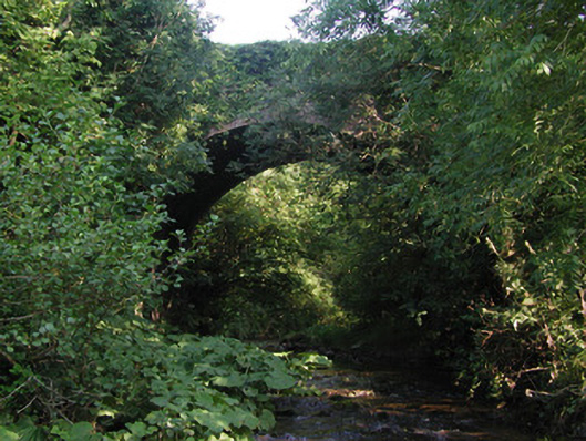 Aghagurty Bridgebridge · 744 yd
 Court in RuinsHouse, fortified house · 1046 yd
 Enclosure in Tulla AND CrumlinEnclosure · 1425 yd
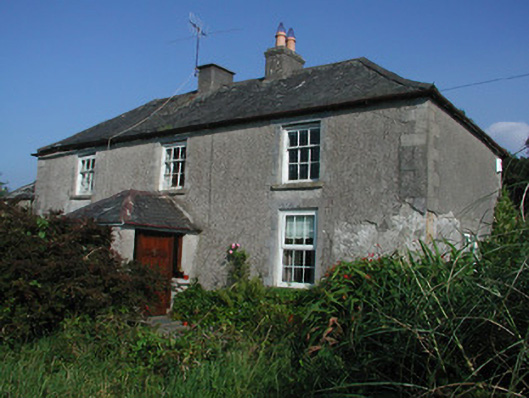 Tulla Housefarm house · 1461 yd
 Site of Tulla CastleCastle, unclassified · 1550 yd
 Enclosure in Newtown (ballybrit By.)Enclosure · 1666 yd
 Saint Dominick's WellSpring · 1.4 mi
 Cumber HillMountain / peak · 1.5 mi
 Derrykeel WoodWood · 2.0 mi
 Grange WoodWood · 2.0 mi
 Saint Kieran's WellSpring · 2.2 mi