What is recorded here
In a shallow gully on a S-facing slope adjacent to the N bank of a stream. A fulacht fia exposed during test trenching in advance of the construction of the N25 Waterford Bypass and excavated in 2006 (Licence number: E3198). It comprised an irregular spread of burnt stones (15.5m N-S; 12.5m E-W; D 0.05-1.26m) in a black, sandy clay containing charcoal flecks. A trough cut (1.4m N-S; 2.2m E-W; D 0.3m) was found in the subsoil at the base of the slope. (Cummins 2009, 281-2, no. 1084-5; Cummins 2009a)
Compiled by: Mary Tunney
Date of upload: 26 August 2013
The monument record does not grant public access. Check the route and ask the landowner before entering private land.
- What survives
- Recorded monument
Places near here
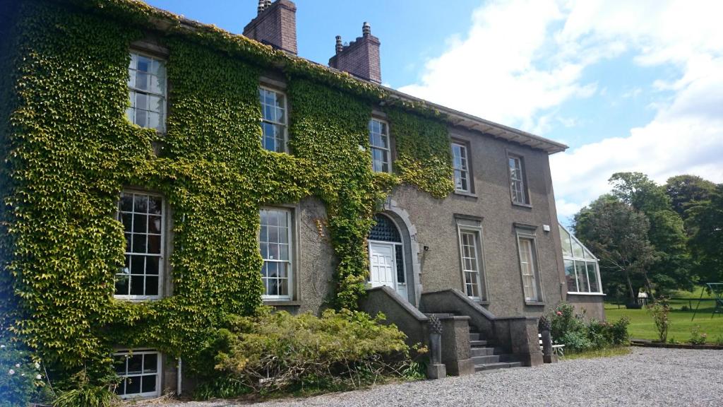 Enclosure in NewrathEnclosure · 232 yd
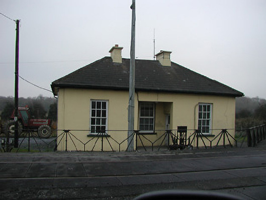 worker's houseworker's house · 428 yd
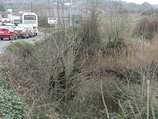 Granny Bridgebridge · 760 yd
 Structure in Gracedieu WestStructure · 1.1 mi
 CastleCastle, unclassified · 1.1 mi
 Granny CastleCastle, tower house · 1.2 mi
 Native Woodland Trust:Grace Dieu ReserveWood · 1.8 mi
 Native Irish Tree TrailWood · 2.6 mi
 Mount Congreve GardensHeritage attraction · 4.3 mi
 Sugar Loaf RockMountain / peak · 4.9 mi
 Waterford & Suir Valley RailwayHeritage attraction · 5.3 mi
 Ballyscanlon HillMountain / peak · 8.5 mi