What is recorded here
In relatively flat terrain. An aerial photograph (GB89.Q.25, 13 July 1989) shows a cropmark of a circular enclosure (diam. c. 35m) defined by two concentric fosses. The outer ring road of Kilkenny City, the N77, completed in 2007, runs through the monument.
Compiled by: Dr. Gillian Barrett for the Archaeological Survey of Ireland and Jean Farrelly
Date of revised upload: 20 October 2020
The monument record does not grant public access. Check the route and ask the landowner before entering private land.
- What survives
- Recorded monument
Places near here
 Enclosure in NeworchardEnclosure · 626 yd
 Enclosure in GlendineEnclosure · 1023 yd
 Celbridge Househouse · 1192 yd
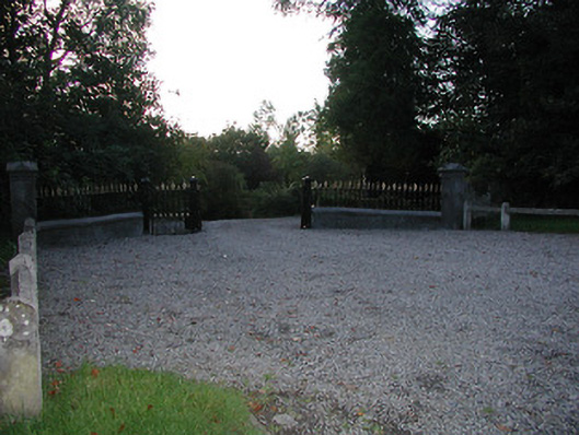 Fairviewgates/railings/walls · 1293 yd
 Jurassic NewparkHeritage attraction · 1353 yd
 Newpark Marsh ParkNature reserve · 1465 yd
 Kilkenny AFC & Kilkenny & District Soccer LeagueMemorial · 1.0 mi
 Stephens Barracks MuseumMuseum · 1.1 mi
 St. Maul's GraveyardMemorial · 1.3 mi
 Black PoplarBlack Poplar · 1.4 mi
 KilkennyVisitor information · 1.4 mi
 Saint Canice's Cathedral Round TowerViewpoint · 1.5 mi