What is recorded here
Located on the Fourknocks stream which flows parallel with the Delvin River that forms the boundary with Co. Dublin to the S and E. The Fourknocks stream is c. 100m to 1km distant from the Delvin which it joins at the boundary between Naul and Hodgestown townlands. Fourknocks stream is depicted on Duncan’s map of 1821 as providing the headwaters of the millstream of Tullog cornmill (ME034-008----) but this is a cartographic error. A tuckmill is mentioned in a description of Naul in 1633 (Tiernan 2008, 17), and according to the Civil Survey (1654-6) of Clonalvy parish 300 acres at Naul were owned by John Cadle of Naul, and on the land were a cornmill and a tuckmill (Simington 1940, 32). The mill and its pond are depicted as functioning on the 1838 edition of the OS 6-inch map, and the masonry remains of a small mill are still present. The mill has been researched by Ian Lennon.
Compiled by: Michael Moore
Date of upload: 13 February 2023
Simington, R. C. 1940 The Civil Survey. Vol. V, County of Meath. Dublin, Stationary Office
Tiernan, S. 2008 Collection List No. 132 Gormanston Papers. Typescript, National Library of Ireland
The monument record does not grant public access. Check the route and ask the landowner before entering private land.
- What survives
- Recorded monument
Places near here
 Naul Bridgebridge · 578 yd
 Bawn in NaulBawn · 616 yd
 Naul Park HouseCastle, unclassified · 630 yd
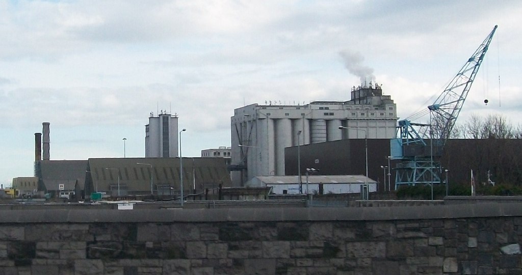 Flour Mill, Mill DamWater mill, unclassified · 632 yd
 Lady WellHoly well · 699 yd
 NaulSettlement cluster · 821 yd
 Seamus Ennis Cultural CentreMemorial · 840 yd
 Bun-na-CnoicMemorial · 1342 yd
 Tullog WoodForest · 1760 yd
 Naul HillMountain / peak · 1.2 mi
 FourknocksPassage tomb · 1.9 mi
 Ballshill PlantingForest · 1.9 mi