What is recorded here
No visible mound, no standing stone, no broken jar to point at. The fort exists only as a shadow in the grass, a slight difference in growth that reveals a circle thirty metres wide. Humans spent centuries believing what they could touch, measure and own. The land refused that request. It kept the shape private, visible only when observed from above and without wanting to control it.
Located at the outer edge of a shelf on a SE-facing slope, at a break in the slope down to a SW-NE section of the Delvin River. The cropmark of a subcircular enclosure (int. diam. c. 30m NW-SE; c. 25m NE-SW) defined by a fosse SE-W-NW is visible only on Apple Maps which utilises a survey undertaken by Bluesky International during June 2018. An outer fosse can also be seen E-S-NW, but the defining features are obscured elsewhere by the tracks of vehicles. It was first reported by Ian Lennon.
See the attached enhanced view from Apple Maps
Compiled by: Michael Moore
Date of upload: 6 February 2020
The monument record does not grant public access. Check the route and ask the landowner before entering private land.
- What survives
- Recorded monument
Places near here
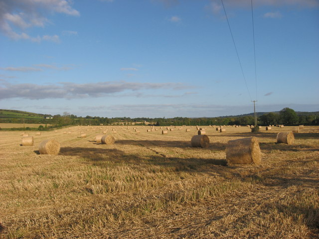 Enclosure in NaulEnclosure · 231 yd
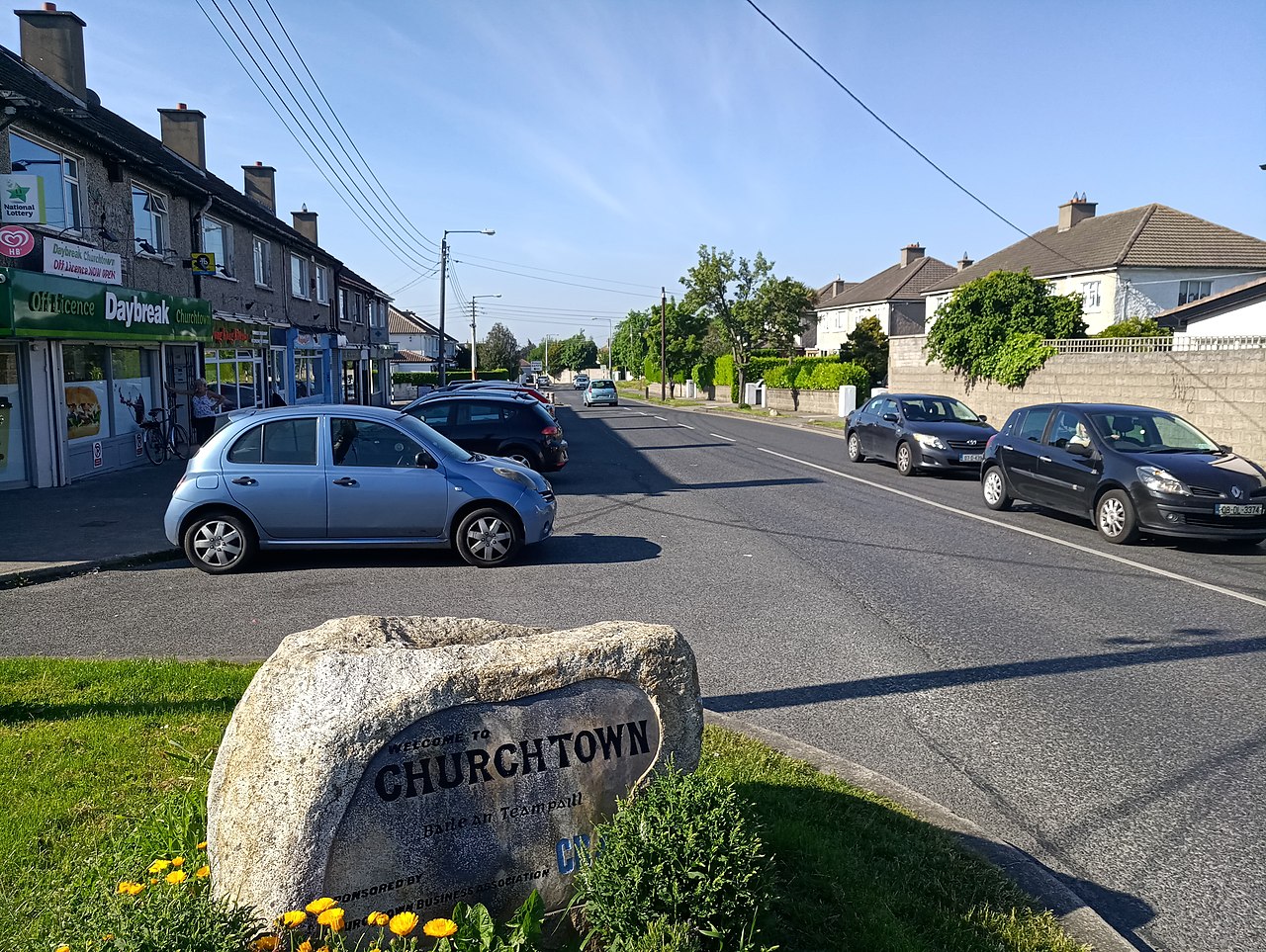 IndicatedKiln, lime · 668 yd
 Naul Park HouseCastle, unclassified · 805 yd
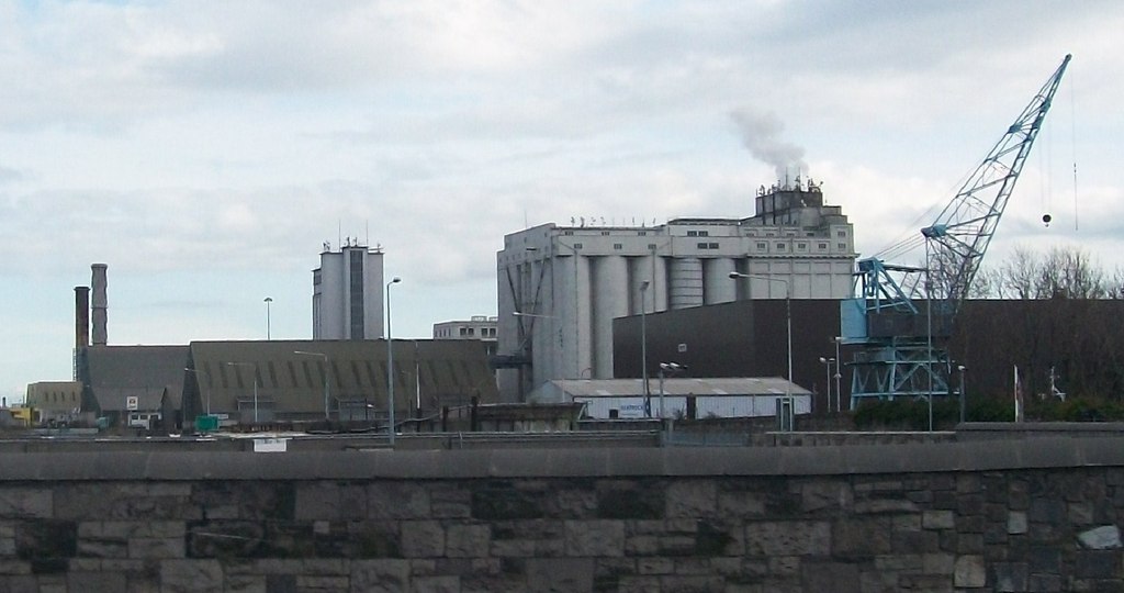 Flour Mill, Mill DamWater mill, unclassified · 943 yd
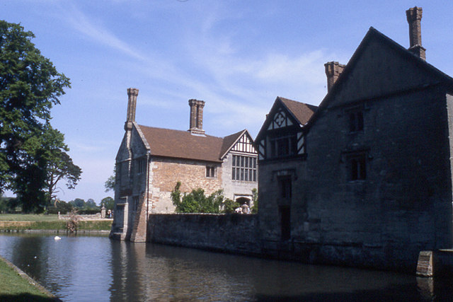 MoatBarrow, stepped barrow · 1027 yd
 Bawn in NaulBawn · 1129 yd
 Seamus Ennis Cultural CentreMemorial · 1171 yd
 Bun-na-CnoicMemorial · 1557 yd
 Naul HillMountain / peak · 1.0 mi
 Tullog WoodForest · 1.3 mi
 FourknocksPassage tomb · 1.4 mi
 KnockbrackMountain / peak · 2.2 mi