What is recorded here
Located on a SE-facing slope overlooking a SW-NE portion of the Delvin River which is c. 500-600m to the SE. The remains of a circular enclosure are depicted on a Longfield map (1825) in NLI (MS 21F. 14/(011) in a field known locally as the 'Ringfield' (pers comm. Mr Colin Byrne, Briarleas, County Meath). Images of it were recorded on a drone-mounted camera by Ian Lennon in July 2020 where it appears to be a circular pit or quarry (diam. c. 30m).
See the attached view courtesy of Ian Lennon
Compiled by Geraldine Stout
Date of upload: 13/03/2012
Amended: 10 September 2020
The monument record does not grant public access. Check the route and ask the landowner before entering private land.
- What survives
- Recorded monument
Places near here
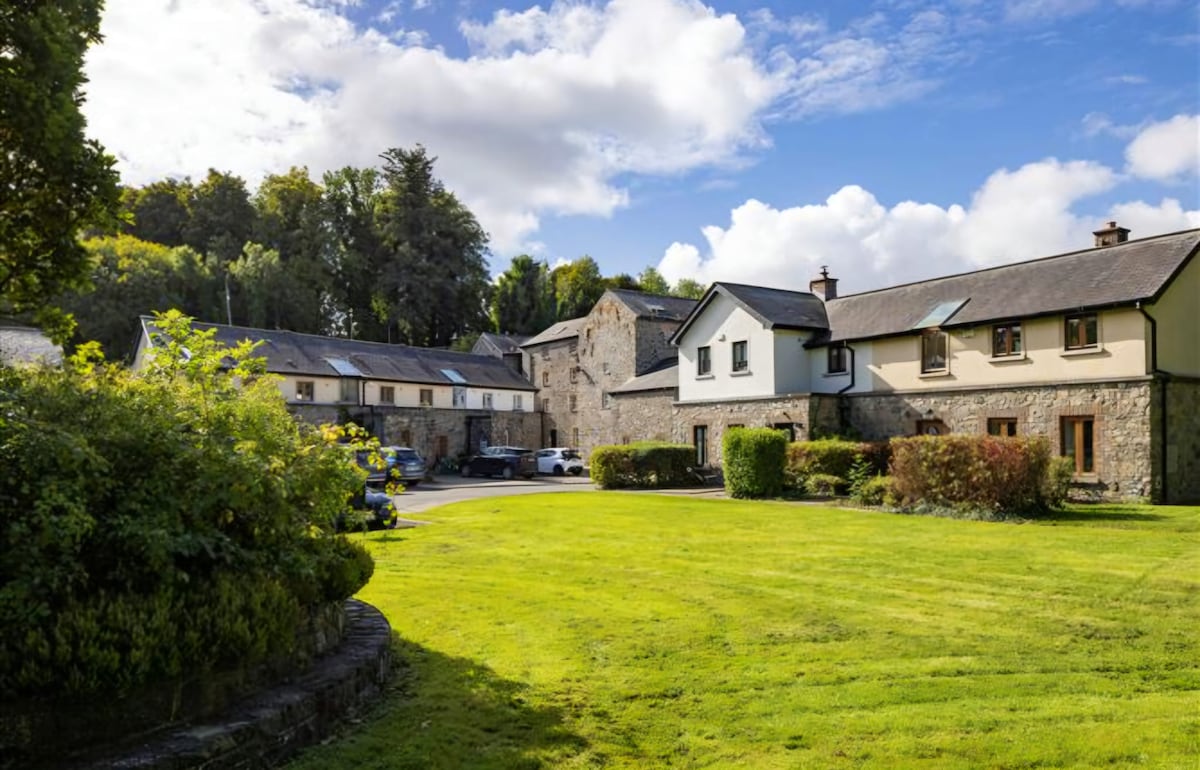 Enclosure in NaulEnclosure · 366 yd
 Naul Bridgebridge · 749 yd
 Bawn in NaulBawn · 777 yd
 Naul Park HouseCastle, unclassified · 803 yd
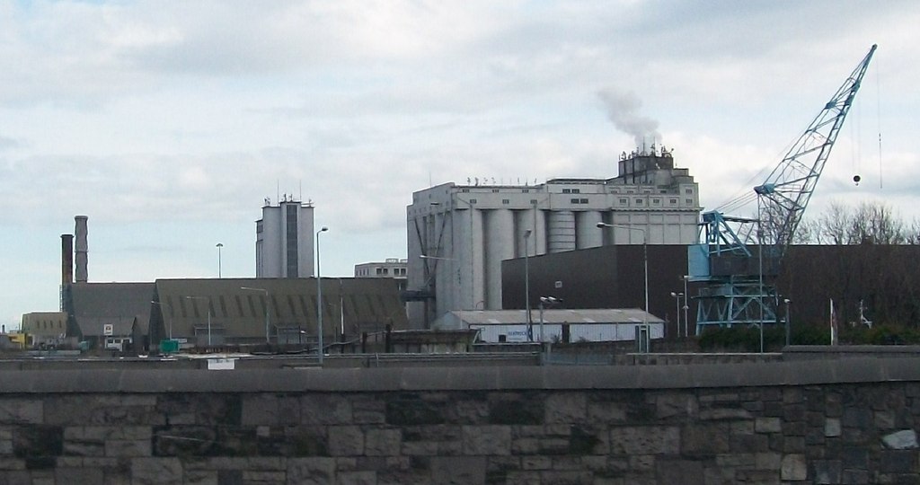 Flour Mill, Mill DamWater mill, unclassified · 805 yd
 Lady WellHoly well · 837 yd
 NaulMemorial · 850 yd
 Seamus Ennis Cultural CentreMemorial · 1003 yd
 Tullog WoodForest · 1603 yd
 Naul HillMountain / peak · 1.3 mi
 Ballshill PlantingForest · 1.8 mi
 FourknocksPassage tomb · 1.9 mi