What is recorded here
Mundellihy contains a 29-metre earthen ringfort with two obvious gaps, a shallow outer ditch, and a northern edge hidden beside a farm building. It is the kind of place where people may have lived, herded animals, or simply marked a boundary before written records arrived. The name fairy fort suggests locals treated it as older and stranger than ordinary farming, even when the earthwork itself remains plain.
In pasture, on a slight S-facing slope. Circular area (diam. 29m) enclosed by earthen bank (int. H 0.35m; ext. H 1.45m) with an external fosse (D 0.75m; Wth 1.8m). Gaps in bank at NNW (Wth c. 2m) and ENE (Wth 2m). Enclosing element is indistinct N->NW, where farm building abuts outer edge of fosse. Enclosing element is covered by scrub overgrowth and interior by tall grasses and marsh vegetation.
Compiled by: Denis Power
Date of upload: 26 August 2011
The monument record does not grant public access. Check the route and ask the landowner before entering private land.
- What survives
- Recorded monument
Places near here
 Enclosure in BallinlongigEnclosure · 1666 yd
 CastleCastle, unclassified · 1.1 mi
 ToberacappeenSpring · 1.2 mi
 Fairy fort / earthen ringfort in AhaveheenFairy fort / earthen ringfort · 1.2 mi
 ToberhoranSpring · 1.2 mi
 Castle (in ruins), Springfield CastleCastle, tower house · 1.5 mi
 KilnKiln, lime · 1.6 mi
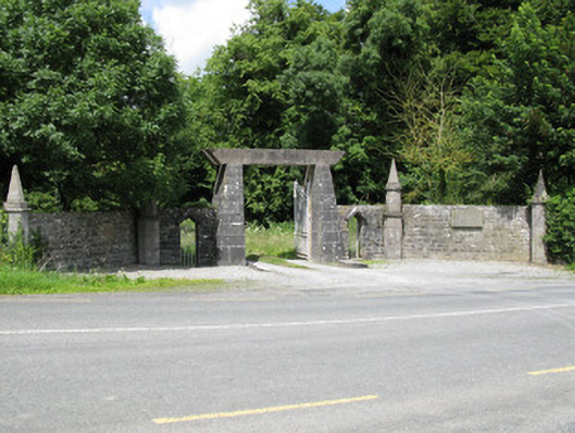 Springfield Castledemesne walls/gates/railings · 1.6 mi
 National Co-op MuseumMuseum · 1.9 mi
 Mullaghareirk - Banane LoopWalking route · 6.4 mi
 Ballagh MountainMountain / peak · 6.5 mi
 Rock HillMountain / peak · 8.7 mi