What is recorded here
In pasture, immediately W of townland boundary with Mundellihy. Ringforts (LI054-013/014----) lie 64m to the NW and SE, respectively. Not marked on the OSi historic maps. Identified as a circular cropmark on OSi aerial photograph taken 2006. No surface remains visible on Digital Globe orthoimage taken between 2011-2013 and on Google Earth orthoimages. See attached OSi aerial photograph and Google Earth orthoimage
Compiled by: Fiona Rooney
Date of upload: 10 November 2021
From the National Monuments Service (Archaeological Survey of Ireland) record LI054-043
The monument record does not grant public access. Check the route and ask the landowner before entering private land.
- What survives
- Recorded monument
Places near here
Photo credits
- National Inventory of Architectural Heritage
- Harold Strong, Geograph · CC BY-SA 2.0
- Mike Searle, Wikimedia Commons · CC BY-SA 2.0
- Mike Searle, Geograph · CC BY-SA 2.0
- A.-K. D., Wikimedia Commons · CC BY-SA 4.0
- Unknown author Unknown author, Wikimedia Commons · Public domain
- Created by Kglavin Modified Aug 2007 by Mike Christie, Wikimedia Commons · CC BY-SA 3.0
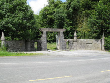 Springfield CastleDemesne walls/gates/railings · 1605 yd
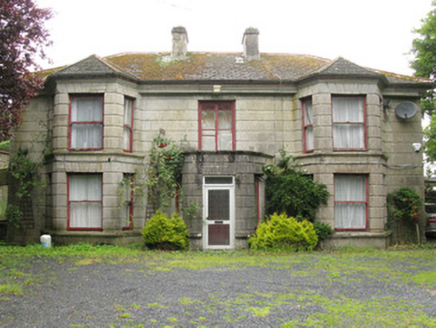 Woodfield HouseHouse · 1669 ydDromcolliherSettlement cluster · 1.0 mi
 National Co-op MuseumMuseum · 1.1 miToberacappeenSpring · 1.2 mi
 Castle (in Ruins)Castle, Anglo-Norman masonry castle · 3.4 mi
 Glenduff CastleCastle, tower house · 4.2 miMullaghareirk - Banane LoopWalking route · 5.9 mi
 Saint Ite's WellSpring · 6.5 miBallagh MountainMountain / peak · 6.6 mi
 Battle of LiscarrollMajor battlefield · 8.1 mi
 Ardagh FortArchaeological place · 12 mi
More archaeology and monuments in County Limerick · All of County Limerick
What do you know about this place?