
What is recorded here
Indicated is a rough oval stone ringfort in County Cavan, Ireland, enclosing a raised area twenty-five metres long and twenty-one metres wide. Its substantial drystone wall still stands around what may have been a small homestead, trading post or refuge, with the original entrance probably facing southeast. People may have lived there, buried treasure there or simply followed the fort into legend, but the stones remain clear enough to show the shape of the choice they made.
Roughly oval-shaped raised area (int. dims. 25.6m N-S; 21.6m E-W) enclosed by a substantial, rough drystone wall. Original entrance was probably at SE.
The above description is derived from the published 'Archaeological Inventory of County Cavan' (Dublin: Stationery Office, 1995). In certain instances the entries have been revised and updated in the light of recent research.
Date of upload/revision: 22 December 2008
The monument record does not grant public access. Check the route and ask the landowner before entering private land.
- What survives
- Recorded monument
Places near here
 Worm Ditch or Black Pigs RaceArchaeological place · 725 yd
 Holy WellHoly well · 927 yd
 CallowhillMountain / peak · 1439 yd
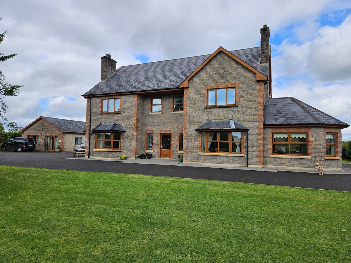 StoneparkWood · 1603 yd
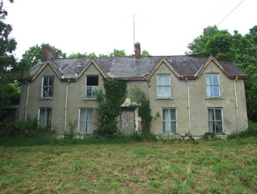 Killynurehouse · 1734 yd
 SandhillsMountain / peak · 1.0 mi
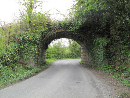 bridgebridge · 1.0 mi
 European YewEuropean Yew · 1.0 mi
 RuinsHouse, fortified house · 1.1 mi
 Bawn in KillyfanaBawn · 2.5 mi
 Garden IsleIslet · 4.0 mi
 Annagh Lough BeachBeach / strand · 5.1 mi
Other information
Photo: Credit not shown in the picture search · Rights wording not checked; contact us if this picture should be removed