What is recorded here
Gallán is a slim standing stone in Mid Cork, rising 2.3 metres above pasture with a rounded top and an irregular NW-SE plan. It escaped the 1842 Ordnance Survey map, hiding in plain sight above a southwest-facing slope. People may have passed it for centuries, reading markers in its shape or leaving it alone because it gave no more than stone.
Not shown on 1842 OS 6-inch map. In level pasture, above SW-facing slope. Stone (H 2.3m; 1.9m x 0.25m) is irregular in plan, with slim profile and rounded top; long axis NW-SE.
The above description is derived from the published 'Archaeological Inventory of County Cork. Volume 3: Mid Cork' (Dublin: Stationery Office, 1997). In certain instances the entries have been revised and updated in the light of recent research.
Date of upload/revision: 14 January 2009
The monument record does not grant public access. Check the route and ask the landowner before entering private land.
- What survives
- Recorded monument
Places near here
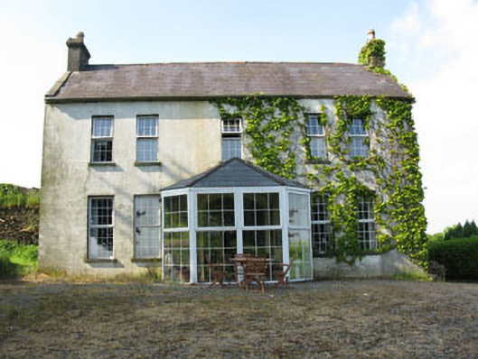 Mount Crosshouse · 1.2 mi
 IndicatedKiln, lime · 1.3 mi
 Grave YdGraveyard · 1.3 mi
 Man-made underground passage (Site of)Man-made underground passage · 1.3 mi
 Neill's WoodWood · 1.3 mi
 Clonavrick CliffCliff · 2.1 mi
 Carrigaphooca CastleCastle · 2.7 mi
 Macroom WalksVisitor information · 2.9 mi
 Curraheen WoodWood · 2.9 mi
 Macroom Castle (in Ruins)Castle, tower house · 2.9 mi
 Battle of Macroombattle · 3.1 mi
 BurrenMountain / peak · 3.9 mi