What is recorded here
Indicated is a fairy fort in County Mayo, Ireland. It is an oval earthwork on a rise above the Sonnagh River. The southeast edge is missing because people quarried stone from it. The rest remains a grassy ring where hawthorn and gorse still grow.
In pasture, located on a rise, from which there is a gradual fall of ground for c. 250m towards the Sonnagh River. There are extensive views NE−SE along the course of the river and over a lowlying basin of bog and reclaimed pasture which lies to E of the river.
Raised, oval area (32.7m NW–SE; 41.5m NE–SW) defined by a scarp (Wth slope 1.4m at SW, 3m at NW; H 0.85m at SW, 2.2m at NW), which is enhanced, especially at NW, by the natural fall of ground. The scarp at NE–ESE has been modified and incorporated into a field bank (Wth 1m; int. H 0.6m; ext. H 1.4m) with a vertical external face. The SE−S quadrant has been quarried out leaving a pit (max. dim. c. 15m); this damage had already taken place by the time of the 1919 OS 6-inch map which depicts the pit.
The interior has a slight slope down from the centre to NE−SE. A small pit (diam. 1m; D 0.7m) close to the scarp at SE may be a collapsed animal burrow. The rath interior is grass-covered, with hawthorn, gorse and brambles on the perimeter.
Compiled by: Jane O’Shaughnessy
Date of upload: 7 December 2020
The monument record does not grant public access. Check the route and ask the landowner before entering private land.
- What survives
- Recorded monument
Places near here
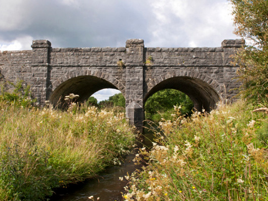 Sonnagh Bridgebridge · 1437 yd
 IndicatedFairy fort / earthen ringfort · 1479 yd
 Enclosure in Killeen (costello By., Kilbeagh Par.)Enclosure · 1.1 mi
 handball alleyhandball alley · 1.2 mi
 Procession Of The SoulsMemorial · 3.6 mi
 Brabazon WoodsForest · 3.6 mi
 Youth Memorial GardenMemorial · 4.0 mi
 HawthornHawthorn · 5.1 mi
 Thorn CaveCave · 6.1 mi
 Castle (in Ruins)Castle, tower house · 6.6 mi
 Old Cave Burial GroundArchaeological place · 7.4 mi
 Rath Castle in ruinsCastle, tower house · 7.5 mi