What is recorded here
Indicated is a submerged crannog in Lough Ervey, County Cavan, marked by a circular cairn twenty-four metres across and scattered pins, a pewter flagon and plate recovered from its waters. The lake has eaten most of the structure, leaving only a ridge of stones and memory where wooden piles once bit into the mud. It is the kind of place that resists explanation, presenting itself as a wound in the water rather than a home.
Located in deep water in the subrectangular Lough Ervey (dims c. 550m ENE-WSW; c. 180-230m NNW-SSE) close to the SW end where the lake extends N-S (dims c. 450m NNW-SSE; c. 90-100m ENE-WSW) is but this part is reduced in length from its depiction on the 1836 edition of the OS 6-inch map (L c. 630m). It is on the county boundary with Meath (ME002-007----). This s a circular overgrown cairn (diam. 24m N-S; 22m E-W; H 1.5m over water level) that has evidence of a stone kerb and wooden piles on the perimeter N-E. Some artefacts, including four early medieval pins and a late medieval pewter flagon and plate, from the crannog are now in NMI (Lucas 1958 136-7; 1960, 33).
Compiled by: Michael Moore
Date of upload: 31 August 2018
The monument record does not grant public access. Check the route and ask the landowner before entering private land.
- What survives
- Recorded monument
Places near here
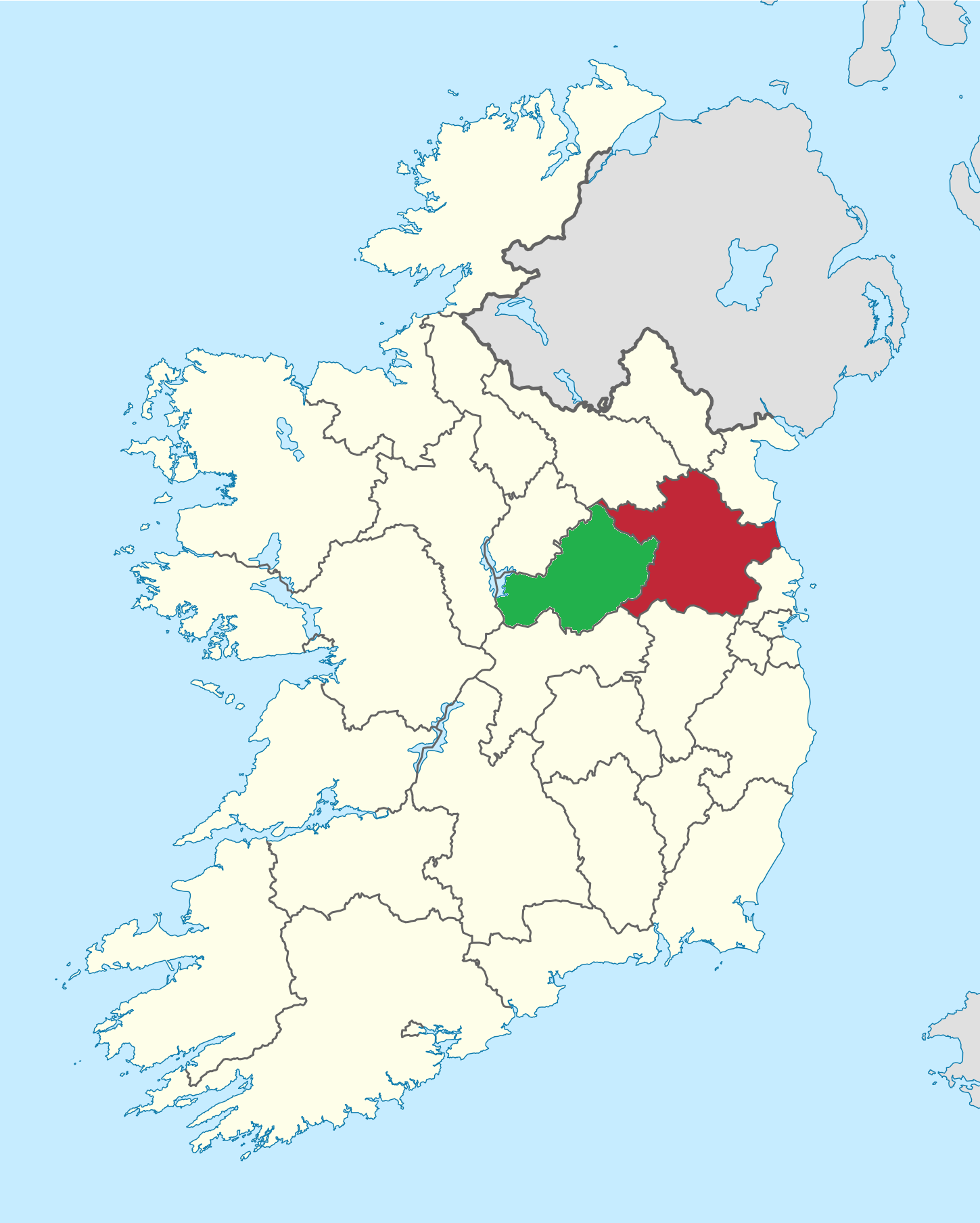 IndicatedEnclosure, large enclosure · 429 yd
 Portal tomb in ErveyPortal tomb · 1467 yd
 The CurraghWood · 1.1 mi
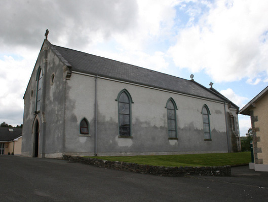 Our Lady of Mount Carmelchurch/chapel · 1.1 mi
 Castle in ruinsCastle, unclassified · 1.4 mi
 Fair of MuffMemorial · 1.5 mi
 Church of the Immaculate Conceptionchurch/chapel · 1.6 mi
 Miltown GlenWood · 1.9 mi
 Giants GraveArchaeological place · 2.4 mi
 CabraMountain / peak · 2.4 mi
 Castle ruinsCastle, unclassified · 2.6 mi
 CornasausMountain / peak · 2.8 mi