
What is recorded here
Indicated is a grass-covered fairy fort on a Monaghan ridge, its twenty-nine-metre circle marked by a faint bank and forgotten entrance. Maps drew it as a curved field boundary, reducing a sacred boundary to a line for cattle. The land resisted that erasure, keeping its shape through centuries of ploughing and doubt.
Located at the summit of a NE-SW ridge. This monument is indicated as a curved field bank N-E-S on the 1834 and 1907 editions of the OS 6-inch map. This is a slightly raised circular and grass-covered area (diam. 29.5m) defined by a slight earthen bank and traces of an outer fosse. The original entrance is not identified.
The above description is derived from the published 'Archaeological Inventory of County Monaghan' (Dublin: Stationery Office, 1986). In certain instances the entries have been revised and updated in the light of recent research.
Date of revision: 30 August 2017
The monument record does not grant public access. Check the route and ask the landowner before entering private land.
- What survives
- Recorded monument
Places near here
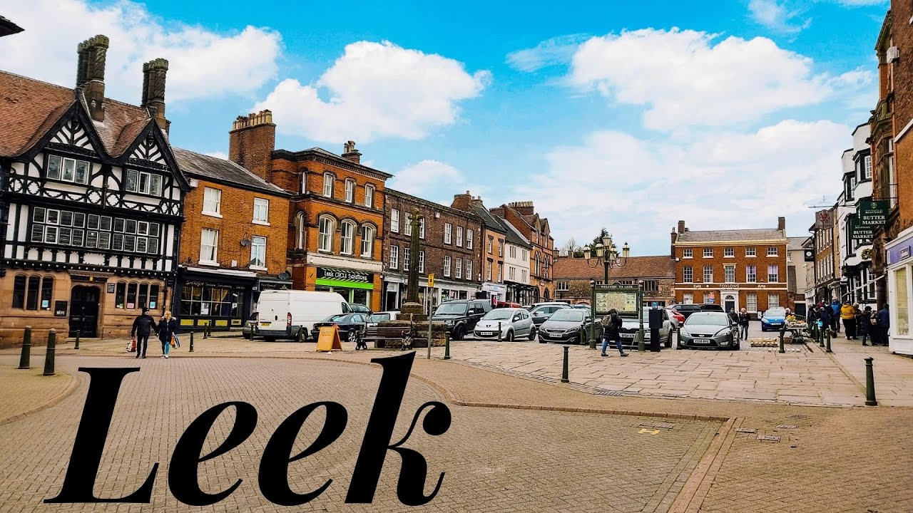 Enclosure in LeekEnclosure · 1406 yd
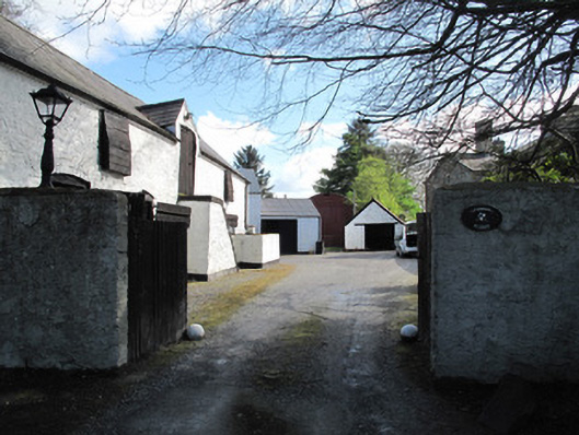 Glennan Housefarmyard complex · 1422 yd
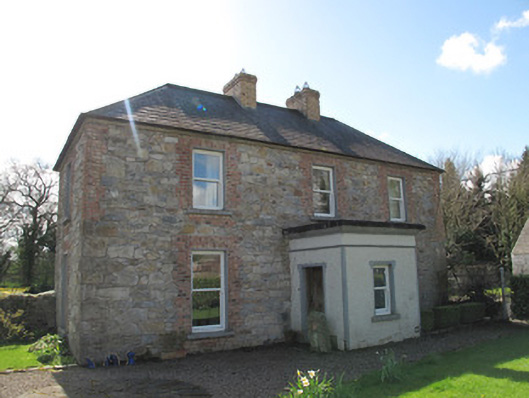 Aghaboy Househouse · 1428 yd
 Hilltop enclosure in DrumbanagherHilltop enclosure · 1572 yd
 Sitka SpruceSitka Spruce · 1665 yd
 Caucasian FirCaucasian Fir · 1667 yd
 Harry LaveryMemorial · 1.2 mi
 Emyvale Heritage TrailVisitor information · 2.3 mi
 St. Muadain's WellSpring · 4.9 mi
 Monaghan County MuseumMuseum · 6.2 mi
 Rossmore MonumentMemorial · 6.5 mi
 Bawn in Roosky (monaghan By., Monaghan Par.)Bawn · 6.5 mi
Other information
Photo: Credit not shown in the picture search · Rights wording not checked; contact us if this picture should be removed