
What is recorded here
Situated on top of a drumlin. This enclosure is depicted on McCrea’s map of Co. Monaghan (1793). The enclosure is a large subcircular area (int. dims 95m N-S; 85m E-W) planted with mature deciduous trees, which is defined by an earthen bank (at S: Wth c. 10m; int. H c. 2m; ext. H c. 3.5m) and outer fosse (at S: Wth of top c. 10m; ext. D c. 1m). The original entrance (Wth of base 3.5m) is at ESE.
The enclosure was the location of a skirmish which took place on March 13, 1688 (Lewis 1837, vol. 1, 657; Shirley 1879, 130), although the year might be 1689 or 1690, between John McKenna and Mathew Anketell, who had relieved a Protestant population at Glaslough. Although it was a minor encounter both principals lost their lives as a result of it, Anketell on the field and McKenna in captivity. A metal-detection survey carried out for Dr. Siobhán McDermott as part of a PhD thesis in NUI Galway identified two clusters of metal alloy signals, thought to represent lead shot, outside the E edge of the enclosure, which was McKenna’s position, and on a small N-S ridge c. 200m to the E.
The above description is derived from the published 'Archaeological Inventory of County Monaghan' (Dublin: Stationery Office, 1986). In certain instances the entries have been revised and updated in the light of recent research.
Date of revision: 30 August 2017
A local fairy fort (ringfort/rath); wider significance not recorded.
The monument record does not grant public access. Check the route and ask the landowner before entering private land.
- What survives
- Recorded monument
Places near here
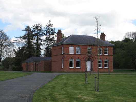 presbytery/parochial/curate's housepresbytery/parochial/curate's house · 397 yd
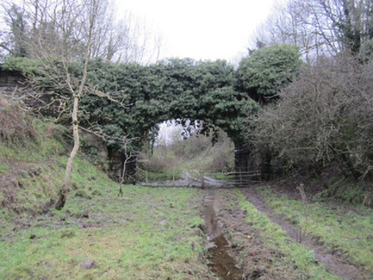 bridgebridge · 421 yd
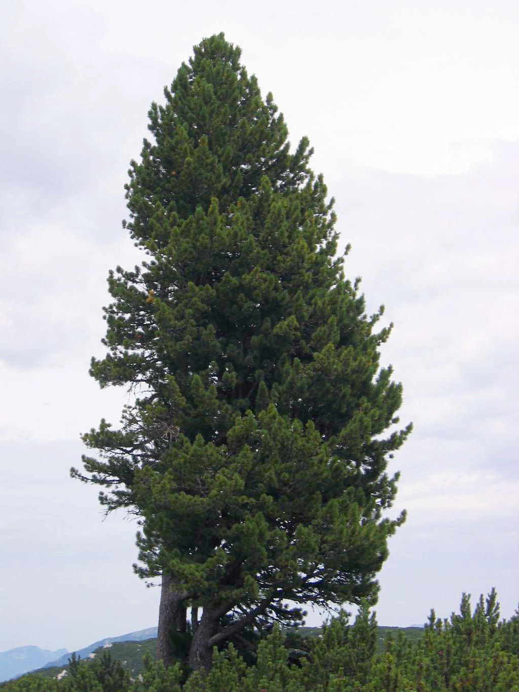 Swiss PineSwiss Pine · 983 yd
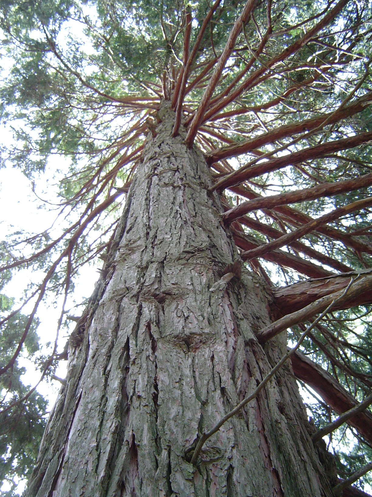 California Incense-cedarCalifornia Incense-cedar · 996 yd
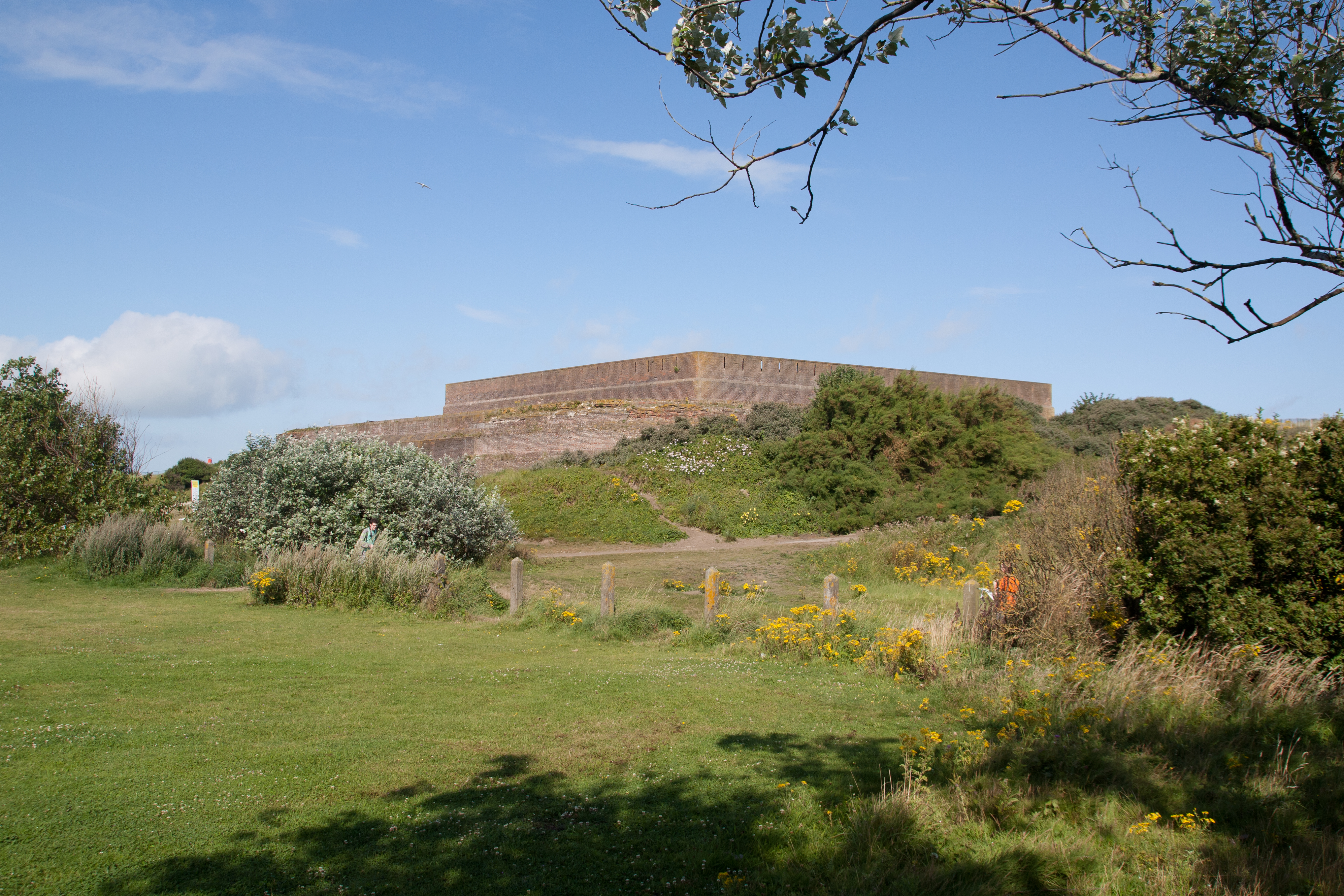 Bastioned fort in GlasloughBastioned fort · 1025 yd
 IndicatedGraveyard · 1029 yd
 Harry LaveryMemorial · 1.1 mi
 Emyvale Heritage TrailVisitor information · 2.6 mi
 Monaghan County MuseumMuseum · 5.4 mi
 St. Muadain's WellSpring · 5.6 mi
 Banba GiantHeritage attraction · 7.2 mi
 Battle of BenburbMajor battlefield · 8.9 mi
Other information
Photo: Credit not shown in the picture search · Rights wording not checked; contact us if this picture should be removed