What is recorded here
Mullagharlin holds a forgotten circular fort on the highest point of Chapel Hill, waiting beneath grass and soil rather than stone. The ridge rises towards the northwest, marking the exact place where people once drew a boundary around their lives. The local chapel appears later on the roadside, but the fort predates that Christian landmark and belongs to an older tradition of living beside the land.
Located towards the NW end of a NW-SE ridge and at its highest point which was known as Chapel Hill (OS 1835 6-inch map) because of the Roman Catholic chapel at the roadside c. 100m to the N. The cropmark of a circular enclosure (diam. c. 30-35m) defined by a single fosse feature was recorded by Joseph McMahon on a drone-mounted camera in August 2018. It is also visible as a cropmark on the OSI aerial images (1995).
See the attached view from the NE, courtesy of Joseph McMahon.
Compiled by: Michael Moore
Date of upload: 12 September 2018
The monument record does not grant public access. Check the route and ask the landowner before entering private land.
- What survives
- Recorded monument
Places near here
 Saint Fursey's Catholic Churchchurch/chapel · 440 yd
 Enclosure in MullagharlinEnclosure · 464 yd
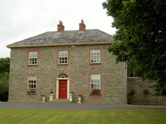 Marlmount Househouse · 535 yd
 Fulacht fia in CrumlinFulacht fia · 631 yd
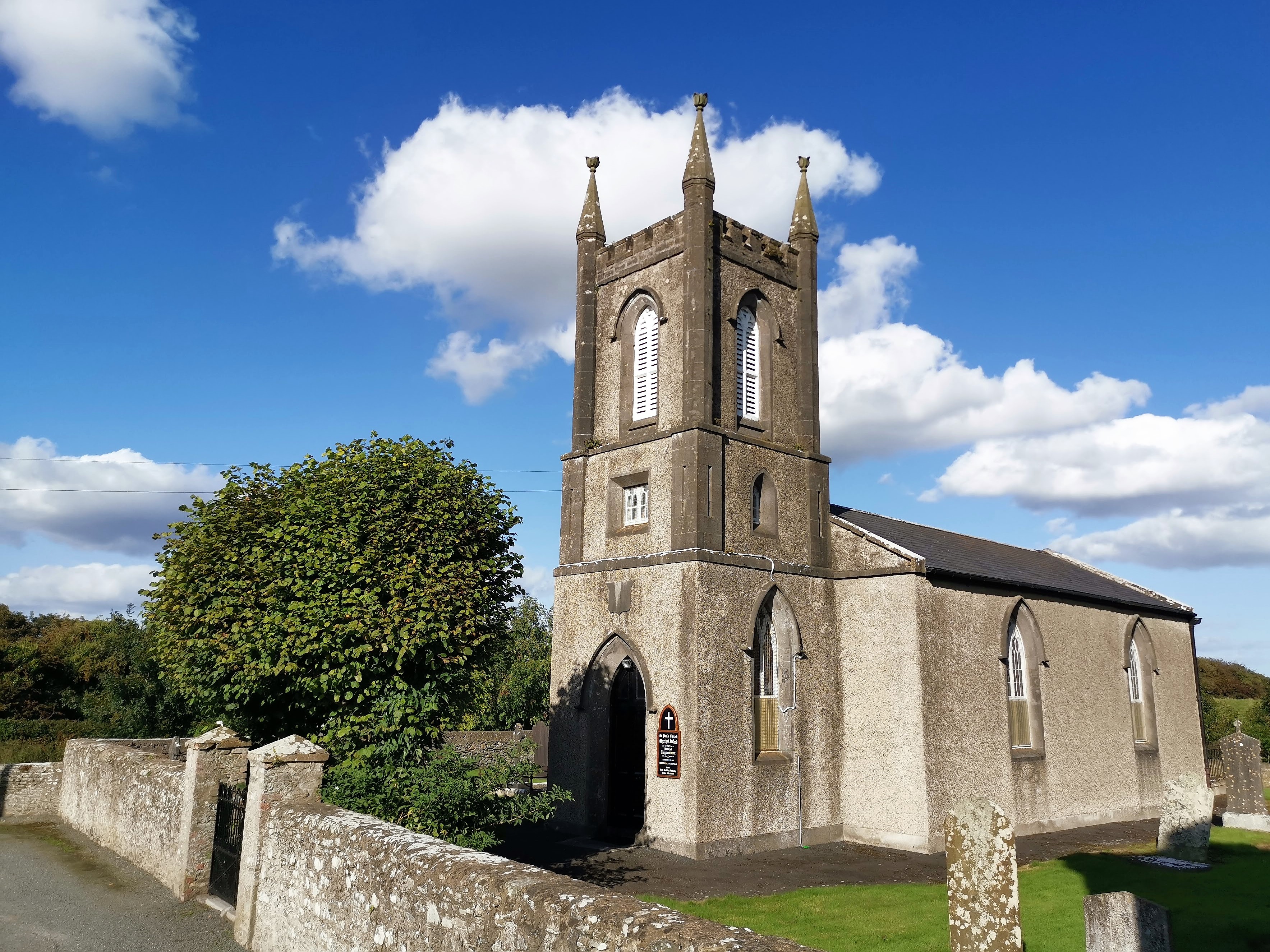 CastleCastle, tower house · 1513 yd
 IndicatedCastle, unclassified · 1595 yd
 Broad WoodForest · 1.3 mi
 BallybarrackMountain / peak · 1.4 mi
 Long WoodForest · 1.4 mi
 Photo GalleryHeritage attraction · 2.2 mi
 Dundalk CentralHeritage attraction · 2.2 mi
 Bombing 1975Memorial · 2.3 mi