What is recorded here
Indicated is a circular earth enclosure in County Cavan, Ireland, built around a natural hillock and still marked as a fort on old maps. Its grass-covered bank hides the original entrance, leaving the interior vast enough for lived purpose but closed enough to suggest exclusion, defense or deliberate mystery. The absence of a visible gateway does not diminish the place; it redirects attention to the shape itself, a boundary drawn around height and visibility.
Marked 'Fort' on the OS 1836 and 1876 eds. and known locally as same. It comprises what appears to be a natural outcrop hillock encircled by a grass-covered bank of earth and stone. The enclosed area is approximately circular (int. diam. c. 31.7m). Original entrance not recognisable.
The above description is derived from the published 'Archaeological Inventory of County Cavan' (Dublin: Stationery Office, 1995). In certain instances the entries have been revised and updated in the light of recent research.
Date of upload/revision: 22 December 2008
The monument record does not grant public access. Check the route and ask the landowner before entering private land.
- What survives
- Recorded monument
Places near here
 Senator Billy Fox 1939 - 1974Memorial · 414 yd
 Saint Patrick's Catholic Churchchurch/chapel · 1020 yd
 Crannog in Cortober (cremorne By.)Crannog · 1166 yd
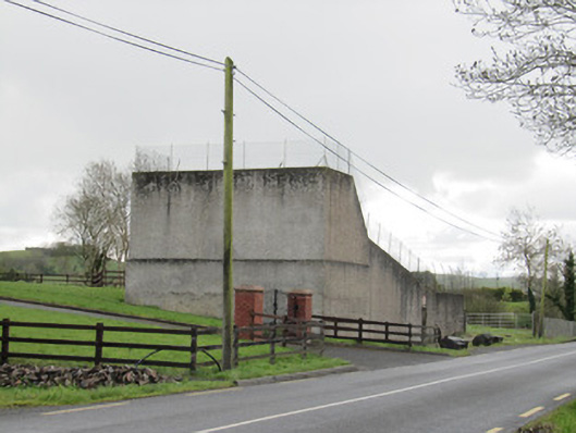 handball alleyhandball alley · 1208 yd
 IndicatedCrannog · 1553 yd
 CarrickcreenyMountain / peak · 2.0 mi
 Annsfort MillsWood · 2.2 mi
 Small IslandIsland · 2.3 mi
 Drumlumman Wet WoodlandWood · 2.4 mi
 Kilmacaran IslandIslet · 2.5 mi
 AghagashlanMountain / peak · 2.9 mi
 Bawn in LisdrumskeaBawn · 3.1 mi