What is recorded here
Mountievers holds a ringfort, a circular earthwork built by human hands yet named for fairies because people believed the spirits still owned the ground. The fort stands in County Clare, Ireland, where stone and soil have watched seasons pass for centuries. Its unclassified shape resists easy judgement, inviting imagination rather than certainty.
The Archaeological Survey of Ireland (ASI) is in the process of providing information on all monuments on The Historic Environment Viewer (HEV). Currently the information for this record has not been uploaded. To access available information for research purposes please make an appointment in advance with the Archive Unit (open Fridays 10.00 am – 5.00 pm), Department of Housing, Local Government and Heritage, The Custom House, Dublin 1 D01W6XO or email NMarchive@housing.gov.ie.
The monument record does not grant public access. Check the route and ask the landowner before entering private land.
- What survives
- Recorded monument
Places near here
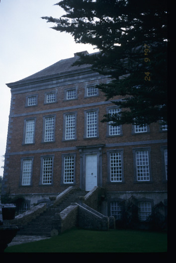 Mount Ievers Courtcountry house · 699 yd
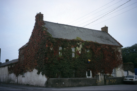 Ieverstown Househouse · 874 yd
 Butler Family Burial PlaceFairy fort / ringfort · 1177 yd
 Enclosure in MoygallaEnclosure · 1424 yd
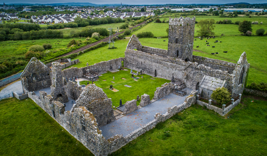 CastleCastle, unclassified · 1575 yd
 Castle (in ruins)Castle, tower house · 1.4 mi
 islandWood · 1.5 mi
 Cratloe WoodsForest · 3.4 mi
 Mass RockMemorial · 3.6 mi
 Bunratty Castle and Folk ParkHeritage attraction · 4.0 mi
 Bunratty Castlehouse · 4.1 mi
 Illaunmore PointHeadland · 4.7 mi