What is recorded here
Mountgale holds an oval enclosure where the road itself bends to avoid disturbing the ancient earth. Fourteen people slept beneath the inner bank until 1950, when machinery bit through the soil and exposed their bones. The land remembers bodies before it remembers borders, and the road still respects that memory by stepping aside.
In pasture. An oval bivallate enclosure (int. dims. c. 50m NW-SE; c. 39m NE-SE) indicated on the 1900 revision OS 6-inch map, with a fosse (Wth c. 8-10m) to the NW-N-NE. A public road runs roughly N-S along the W edge, kinking out to accommodate the monument. In 1950 human bones (representing c. 14 individuals) were uncovered when the inner bank was being levelled as part of Land Project works (NMI Correspondence Files, 12 August 1950). These burials (KK018-022001-) were c. 0.6m below the surface along the E side of the inner bank (ibid.). During the works both inner and outer banks were levelled but the monument was not completely flattened. An enclosure (KK018-021----) is located c. 100m to the NW.
Holahan (1883, 88), notes that Bouncestown was the ancient name of the townland of Mountgale and referring to Bouncestown Castle (KK018-079003-) writes that, 'A circular mound is here pointed out near the road-side as the site of the castle of Sir Tobias Butler'. This may refer to this enclosure which is immediately to the E of, and adjacent to, the public road.
Compiled by: Jean Farrelly
Date of upload: 25 June 2020
The monument record does not grant public access. Check the route and ask the landowner before entering private land.
- What survives
- Recorded monument
Places near here
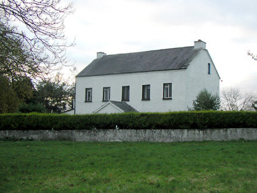 Mountgale Housefarm house · 468 yd
 Enclosure in BaunnarahaEnclosure · 746 yd
 IndicatedEnclosure · 759 yd
 Gaulstown CastleCastle, unclassified · 1.3 mi
 Bawn in BoolysheaBawn · 1.4 mi
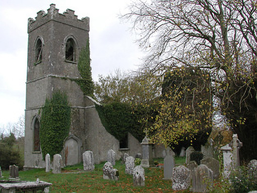 Ballinamara Churchchurch/chapel · 1.7 mi
 Ballykeeffe Mass RockNamed rock · 3.2 mi
 Ballykeefe WoodForest · 3.5 mi
 Saint Brigid's WellSpring · 3.7 mi
 Ballykeefe QuarryCliff · 3.7 mi
 Ballykeefe AmphitheatreHeritage attraction · 3.7 mi
 Killeen Fox CovertForest · 3.8 mi