What is recorded here
In pasture. A triangular-shaped enclosure (dims. c. 42m NW-SE; c. 37m NE-SW at the NW, tapering to c. 10m at the SE) indicated on the 1st (1839) ed. OS 6-inch map and on the 1900 revision. A public road runs roughly N-S c. 20m E of the monument. It is evident from satellite imagery that the monument has been levelled, though it is still visible as a raised area. An enclosure (KK018-022----) is located c. 100m to the SE.
Compiled by: Jean Farrelly
Date of upload: 24 June 2020
The monument record does not grant public access. Check the route and ask the landowner before entering private land.
- What survives
- Recorded monument
Places near here
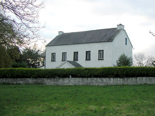 Mountgale Housefarm house · 442 yd
 IndicatedEnclosure · 830 yd
 Enclosure in BaunnarahaEnclosure · 862 yd
 Gaulstown CastleCastle, unclassified · 1.2 mi
 Bawn in BoolysheaBawn · 1.5 mi
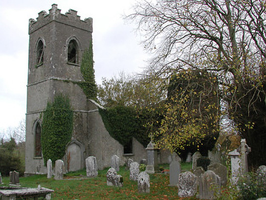 Ballinamara Churchchurch/chapel · 1.7 mi
 Ballykeeffe Mass RockNamed rock · 3.3 mi
 Ballykeefe WoodForest · 3.6 mi
 Ballykeefe QuarryCliff · 3.8 mi
 Saint Brigid's WellSpring · 3.8 mi
 Ballykeefe AmphitheatreHeritage attraction · 3.8 mi
 Killeen Fox CovertForest · 3.8 mi