What is recorded here
Situated at the edge of a terrace overlooking a small NW-SE canalised stream c. 70m to the SW in a low-lying undulating landscape and within the field system (ME022-007----). It is described as a circular mound of earth (diam. of base c. 20m; diam. of top c. 9m; H 1m) (SMR file).
The above description is derived from the published 'Archaeological Inventory of County Meath' (Dublin: Stationery Office, 1987). In certain instances the entries have been revised and updated in the light of recent research.
Compiled by: Michael Moore
Date of revision: 10 January 2019
Amended: 29 September 2022
The monument record does not grant public access. Check the route and ask the landowner before entering private land.
- What survives
- Recorded monument
Places near here
 CastleCastle, unclassified · 123 yd
 MoatCastle, motte and bailey · 134 yd
 Church (in Ruins)Church · 262 yd
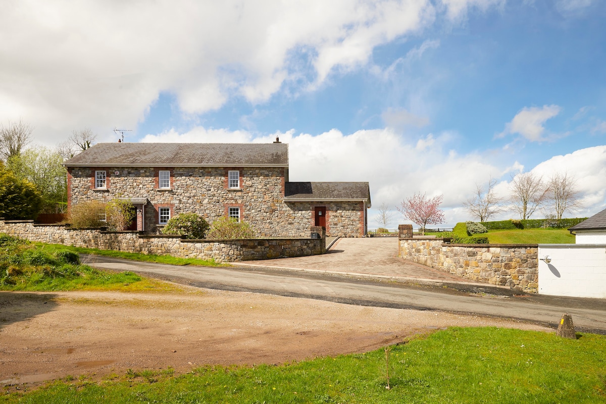 Enclosure in BoherardEnclosure · 742 yd
 European ashEuropean ash · 1135 yd
 Not inidicatedFairy fort / earthen ringfort · 1568 yd
 Bradley's WoodWood · 1.4 mi
 Corn MillMill, unclassified · 1.9 mi
 Kells HillMountain / peak · 2.2 mi
 Slieve GullionMountain / peak · 3.2 mi
 Loughcrew Megalithic TombsHeritage attraction · 4.8 mi
 Oliver Plunkett memorialMemorial · 4.9 mi