
What is recorded here
Situated in an undulating landscape. The parish church of Killallon is within a rectangular graveyard (dims c. 75m E-W; c. 60m N-S) defined by a slight earthen bank inside masonry walls, which form the townland boundary with Loughanderg on every side except the S. A church at Killalon is listed in the ecclesiastical taxation (1302-06) of Pope Nicholas IV (Cal. doc. Ire. 5, 259). Cogan (1862-70, 2, 287) says the church was dedicated to St. Bartholomew. Ussher (1622) describes the church and chancel as somewhat ruinous (Erlington 1847-64, 1, cxvii). According to Dopping’s visitation (1682-5) the church and chancel were ruined, although the graveyard was enclosed (Ellison 1975, 9).
This is a divided nave (int. dims 16 E-W; 5.95m N-S) and chancel (int. dims 9m E-W; 5m N-S) structure with walls that survive (H c. 1.2m) completely, but the nave walls are drystone with a modern entrance (Wth 1.35m) in the N wall and a narrower entrance in the S. The chancel walls (T 0.8m) are mortared, and the chancel appears to have been added to the nave. There is a holy water stoup on the S nave wall. Archaeological excavation (93E0027) of the earthen bank revealed a stone wall (Wth 0.45m; H 0.5m) at it is core (Meenan 1995). The graveyard is now extended to the S (dims c. 75m E-W; c. 25m N-S), and the motte (ME022-) is c. 90m SW of the church.
The above description is derived from the published 'Archaeological Inventory of County Meath' (Dublin: Stationery Office, 1987). In certain instances the entries have been revised and updated in the light of recent research.
Compiled by: Michael Moore
Date of upload/revision: 16 December, 2014
A local church or high cross; wider significance not recorded.
The monument record does not grant public access. Check the route and ask the landowner before entering private land.
- What survives
- Recorded monument
Places near here
 CastleCastle, unclassified · 143 yd
 MoatCastle, motte and bailey · 149 yd
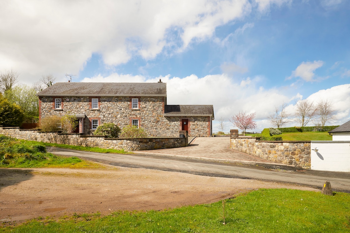 Enclosure in BoherardEnclosure · 856 yd
 European ashEuropean ash · 952 yd
 Enclosure in Shanco (fore By.)Enclosure · 1370 yd
 Bradley's WoodWood · 1.5 mi
 Corn MillMill, unclassified · 1.9 mi
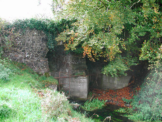 Snipe's Bridgebridge · 2.0 mi
 Kells HillMountain / peak · 2.3 mi
 Slieve GullionMountain / peak · 3.3 mi
 Loughcrew Megalithic TombsHeritage attraction · 4.9 mi
 Oliver Plunkett memorialMemorial · 4.9 mi
Other information
Photo: Credit not shown in the picture search · Rights wording not checked; contact us if this picture should be removed