
What is recorded here
Situated in a gently undulating landscape. Killallon was known as Killamlan, and in 1214-5 William de Tuite reportedly found gold there (Orpen 1907, 241). The motte is a subcircular flat-topped mound (dims of top 17.5m E-W; 15m N-S; diam. of base 40m N-S; 36m E-W; H 7m at NW to 14m at SE) with a rectangular, grass-covered bailey (int. dims c. 40m NW-SE; c. 40m NE-SW), defined by earthen banks (at NW: Wth of base 15m; int. H 1m; ext. H 0.6m) or scarps, attached to the NW. It is associated a field system (ME022-007----) just to the NW. The castle site (ME022-011----) is just N of the bailey and Killallon parish church (ME022-012----) is c. 90m to the NE.
The above description is derived from the published 'Archaeological Inventory of County Meath' (Dublin: Stationery Office, 1987). In certain instances the entries have been revised and updated in the light of recent research.
Compiled by: Michael Moore
Date of revision: 21 July 2016
Amended: 23 March 2023
William de Tuite was associated with the area in the early 13th century, and the site is notable for a reported gold find in 1214–15. The motte remains as a significant earthwork in the landscape.
The monument record does not grant public access. Check the route and ask the landowner before entering private land.
- What survives
- Recorded monument
Places near here
 CastleCastle, unclassified · 77 yd
 Church (in Ruins)Church · 149 yd
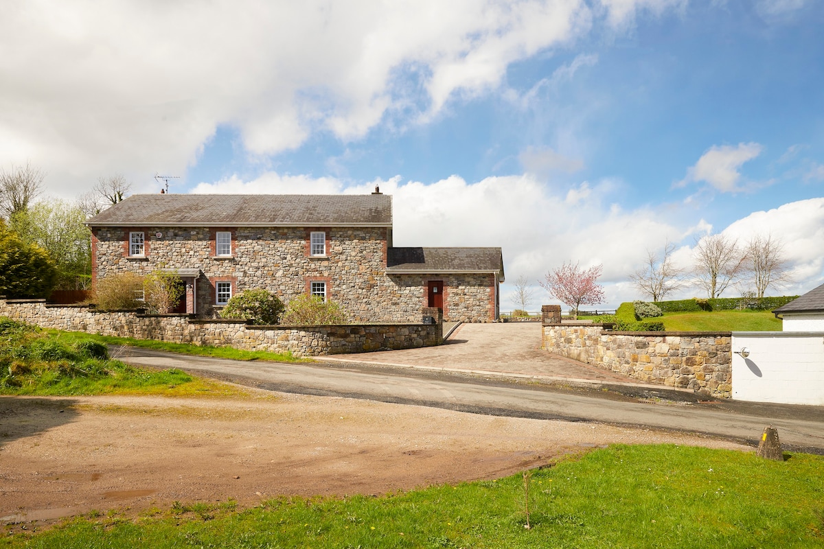 Enclosure in BoherardEnclosure · 738 yd
 European ashEuropean ash · 1007 yd
 Enclosure in Shanco (fore By.)Enclosure · 1519 yd
 Bradley's WoodWood · 1.4 mi
 Corn MillMill, unclassified · 1.9 mi
 Kells HillMountain / peak · 2.2 mi
 Bawn in ArcherstownBawn · 2.3 mi
 Slieve GullionMountain / peak · 3.3 mi
 Loughcrew Megalithic TombsHeritage attraction · 4.9 mi
 Oliver Plunkett memorialMemorial · 4.9 mi
Other information
Photo: Credit not shown in the picture search · Rights wording not checked; contact us if this picture should be removed