What is recorded here
Situated on a hillock in an undulating landscape. This is a circular grass-covered and slightly domed area (diam. 24m NNW-SSE; 22.5m E-W) defined by an external scarp (at N: Wth 2m; H 1m; at S: Wth 4m; H 1.8m) and berm (Wth 1.2-2.2m). The perimeter is slightly quarried at E but an original entrance is not identified.
From the National Monuments Service (Archaeological Survey of Ireland) record ME022-023
The monument record does not grant public access. Check the route and ask the landowner before entering private land.
- What survives
- Recorded monument
Places near here
Photo credits
- Willow, Wikimedia Commons · CC BY 2.5
- National Inventory of Architectural Heritage
- Sitomon, Wikimedia Commons · CC BY-SA 2.0
- Gavigan, Wikimedia Commons · CC BY-SA 3.0
- Brian Shaw, Wikimedia Commons · CC BY-SA 2.0
- Bob Embleton, Geograph · CC BY-SA 2.0
IndicatedFairy fort / earthen ringfort · 680 yd European ash1639 ydGraulty's BridgeBridge · 1.3 mipost box1.4 miKells HillMountain / peak · 2.1 miThe Sloe HillMountain / peak · 2.8 miEuropean Yew3.1 miClonyn CastleCastle · 4.0 miCastleCastle, tower house · 4.1 miZip WireHeritage attraction · 5.2 miZip WireHeritage attraction · 5.3 miStanding stone in Balnagon UpperStanding stone · 5.4 mi
 European ash1639 yd
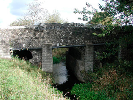 Graulty's BridgeBridge · 1.3 mi
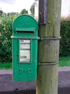 post box1.4 miKells HillMountain / peak · 2.1 miThe Sloe HillMountain / peak · 2.8 mi
 European Yew3.1 mi
 Clonyn CastleCastle · 4.0 mi
 CastleCastle, tower house · 4.1 miZip WireHeritage attraction · 5.2 miZip WireHeritage attraction · 5.3 mi
 Standing stone in Balnagon UpperStanding stone · 5.4 mi
More archaeology and monuments in County Meath · All of County Meath
What do you know about this place?