What is recorded here
In grassland on S-facing slope of rising ground in upland region with good views in all directions. Circular area (int. diam. 28m N-S; 27m E-W) enclosed by a tree-lined earthen bank (top Wth 1.8m; base Wth 4m; int. H 1-0.3m; ext. H 1-1.5m) and narrow deep fosse/drain (base Wth 0.5m; top Wth 1.5m; ext. D 0.8m) visible on the W and N sides only. The profile of the bank is very well preserved and extremely fresh looking which along with the presence of beech trees along the top of the bank suggests that this is a tree-ring and not a ringfort. No clear entrance feature visible, gap (Wth 1.7m) in bank at N would appear to be a later cattle gap. The external fosse is narrow and deep with a sharp profile which suggests a 19th-century date. Depicted on the 1840 ed. as a tree-ring and on the latest ed. also as a tree-ring. This enclosure has all the characteristic features of a tree-ring and is not a ringfort.
Compiled by: Jean Farrelly
Date of revised upload: 8 October 2014
The monument record does not grant public access. Check the route and ask the landowner before entering private land.
- What survives
- Recorded monument
Places near here
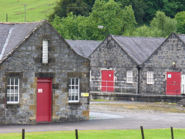 Enclosure in Mortlestown (cooleagh Par.)Enclosure · 130 yd
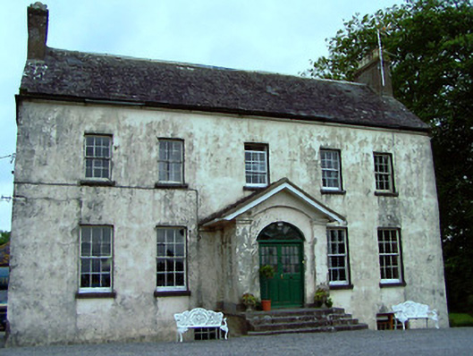 The Rectoryrectory/glebe/vicarage/curate's house · 1077 yd
 Enclosure in St. JohnstownEnclosure · 1325 yd
 Mortlestown Castle RuinCastle · 1544 yd
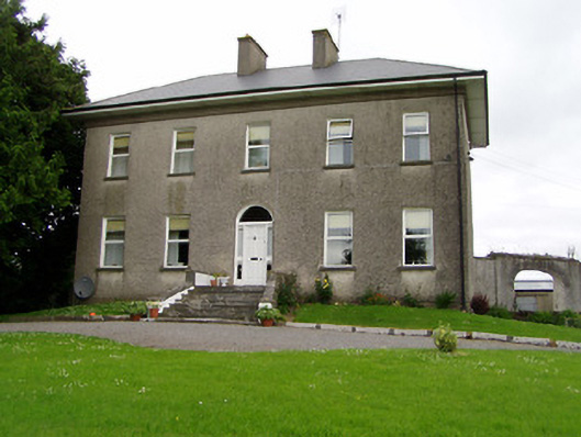 Roan Housecountry house · 1729 yd
 Eagle HillMountain / peak · 1.1 mi
 Saint Johnstown CastleCastle · 1.5 mi
 Slieveardagh Heritage CentreVisitor information · 1.8 mi
 Waterloo HillMountain / peak · 4.0 mi
 Noan WoodWood · 4.3 mi
 Gobban Saer's GraveArchaeological place · 4.9 mi
 Taylor's WoodWood · 4.9 mi