What is recorded here
New monument uncovered during excavation by Jonathan Dempsey under licence number 03E1624 in advance of the M7 Heath-Mayfield motorway scheme.
On a link road to the exisitng N7, two pits and the portion of a possible trough for a burnt mound that lay within the roadline were excavated. This was sub-oval in shaped and measured 2m NW/SE by 0.9m E-W by 0.3m depth. The possible pits and trough had a fill of burnt-mound-like material (Bennett 2006, 297).
Compiled by: Caimin O'Brien
Date of upload: 17 December 2007
The monument record does not grant public access. Check the route and ask the landowner before entering private land.
- What survives
- Recorded monument
Places near here
 Enclosure in MorettEnclosure · 313 yd
 Morett Castle (in ruins)House, fortified house · 323 yd
 Morett Church (in Ruins)Church · 486 yd
 Rathnalulagh (Site of)Fairy fort / ringfort · 843 yd
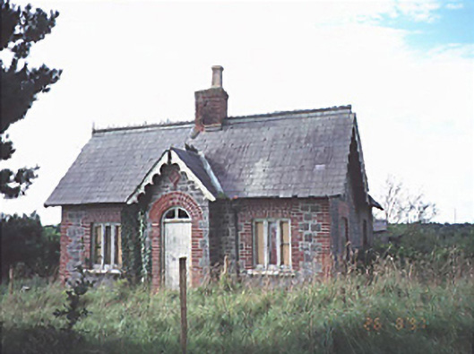 Emo Courtgate lodge · 1.1 mi
 Pedunculate OakPedunculate Oak · 1.1 mi
 Coolbanagher Castle (ruins)Castle · 1.5 mi
 European YewEuropean Yew · 1.8 mi
 Rock of DunamaseCastle · 3.4 mi
 Rock of Dunamase InformationVisitor information · 3.4 mi
 Friary (in Ruins) GraveyardReligious house, unclassified · 4.3 mi
 Church (in Ruins), GraveyardChurch · 4.4 mi