
What is recorded here
New monument uncovered during excavation by Eamonn Cotter under licence number 03E0461 in advance of the M7 Heath-Mayfield motorway scheme.
A second, smaller enclosure (diam. 8.5m) defined by a ditch (Wth 0.51m; D 0.12m) was located approx. 30m to the SW of the ditch-barrow (LA008-042). A large iron axehead was found near the centre of the enclosure (Bennett 2006, 293-4).
Compiled by: Caimin O'Brien
Date of upload: 17 December 2007
A local fairy fort (ringfort/rath); wider significance not recorded.
The monument record does not grant public access. Check the route and ask the landowner before entering private land.
- What survives
- Recorded monument
Places near here
 Morett Castle (in ruins)House, fortified house · 381 yd
 Morett Church (in Ruins)Church · 511 yd
 Rathnalulagh (Site of)Fairy fort / ringfort · 625 yd
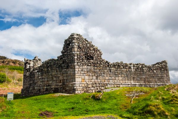 Doon FortFairy fort / earthen ringfort · 667 yd
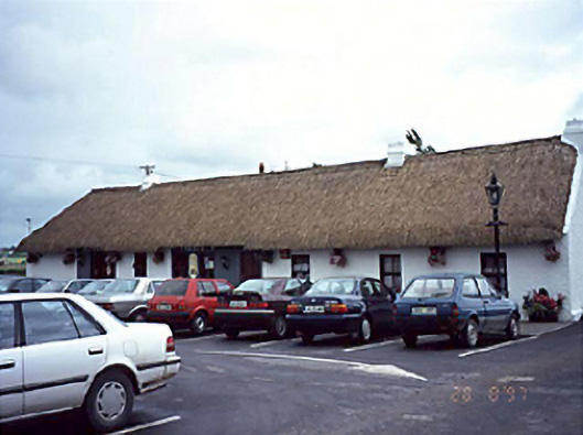 farm housefarm house · 1.0 mi
 Pedunculate OakPedunculate Oak · 1.1 mi
 Coolbanagher Castle (ruins)Castle · 1.4 mi
 European YewEuropean Yew · 1.9 mi
 Emo CourtHeritage attraction · 2.0 mi
 Rock of DunamaseCastle · 3.2 mi
 Rock of Dunamase InformationVisitor information · 3.3 mi
 Friary (in Ruins) GraveyardReligious house, unclassified · 4.2 mi
Other information
Photo: Credit not shown in the picture search · Rights wording not checked; contact us if this picture should be removed