What is recorded here
Death in Morett wore no ceremony but a shallow cut, barely half a metre deep, wide enough for one body and long enough to refuse bending. The skeleton lay flat, feet east, head south, waiting for soil and forgetting. A motorway nearly erased the mark before Dempsey dug it clean, pulling one ordinary life out of the ground and naming the darkness that swallowed so many others.
New monument uncovered during excavation by Jonathan Dempsey under licence number 03E1624 in advance of the M7 Heath-Mayfield motorway scheme.
Orientated E-W, the skeleton was in an extended supine position, with the skull facing to the S. The skeleton had been placed in a shallow grave-cut 1.69m in length by 0.65m in width by 0.49m deep (Bennett 2006, 296).
Compiled by: Caimin O'Brien
Date of upload: 17 December 2007
A Neolithic inhumation burial; significant as a rare find associated with early road infrastructure projects in the region.
The monument record does not grant public access. Check the route and ask the landowner before entering private land.
- What survives
- Recorded monument
Places near here
 Enclosure in MorettEnclosure · 313 yd
 Morett Castle (in ruins)House, fortified house · 323 yd
 Morett Church (in Ruins)Church · 486 yd
 Rathnalulagh (Site of)Fairy fort / ringfort · 843 yd
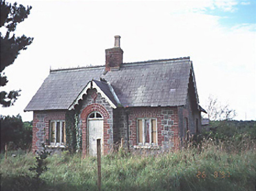 Emo Courtgate lodge · 1.1 mi
 Pedunculate OakPedunculate Oak · 1.1 mi
 Coolbanagher Castle (ruins)Castle · 1.5 mi
 European YewEuropean Yew · 1.8 mi
 Rock of DunamaseCastle · 3.4 mi
 Rock of Dunamase InformationVisitor information · 3.4 mi
 Friary (in Ruins) GraveyardReligious house, unclassified · 4.3 mi
 Church (in Ruins), GraveyardChurch · 4.4 mi