What is recorded here
Morett 13 is an adult burial cut shallowly into the earth, oriented east to west without goods or markers. The motorway excavation revealed its rounded corners and disturbed bones, suggesting a life ended and forgotten before roadworks dragged it back into visibility. Perhaps the person belonged to a family who walked that field daily, confident the soil would keep their secret. Instead the secret survived only because steel wheels threatened to erase it completely.
New monument uncovered during excavation by Jonathan Dempsey under licence number 03E1367 in advance of the M7 Heath-Mayfield motorway scheme.
Morett 13 was located 91m SSW of Morett 5 (LA008-053). This heavily disturbed extended inhumation, probably of an adult, was orientated E-W. The grave-cut was subrectangular with rounded corners, measuring 1.75m E-W by 1m by 0.07m deep. No grave goods were associated with this burial.
Compiled by: Caimin O'Brien
Date of upload: 17 December 2007
A Neolithic passage tomb, dating to approximately 3500–2500 BCE. Its significance lies in its association with early megalithic funerary practices in the region, providing insights into Neolithic burial customs and social organisation.
The monument record does not grant public access. Check the route and ask the landowner before entering private land.
- What survives
- Recorded monument
Places near here
 Enclosure in MorettEnclosure · 413 yd
 Rathnalulagh (Site of)Fairy fort / ringfort · 495 yd
 Morett Castle (in ruins)House, fortified house · 583 yd
 Morett Church (in Ruins)Church · 658 yd
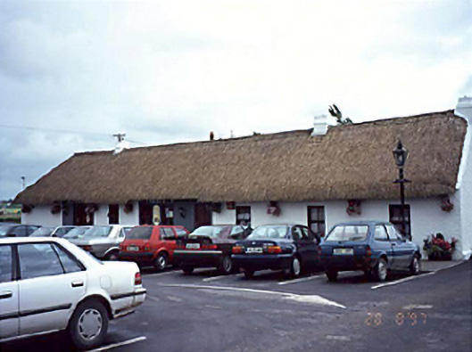 farm housefarm house · 1559 yd
 Pedunculate OakPedunculate Oak · 1.1 mi
 Coolbanagher Castle (ruins)Castle · 1.3 mi
 European YewEuropean Yew · 2.0 mi
 Rock of DunamaseCastle · 3.1 mi
 Rock of Dunamase InformationVisitor information · 3.2 mi
 Friary (in Ruins) GraveyardReligious house, unclassified · 4.1 mi
 Church (in Ruins), GraveyardChurch · 4.7 mi