
What is recorded here
New monument uncovered during excavation by Jonathan Dempsey under licence number 03E1368 in advance of the M7 Heath-Mayfield motorway scheme.
Morett 4 consisted of a possible ring-ditch, sub-oval in shape, with internal dimensions of 15.4m N-S by 11m. The enclosure was defined by a V-shaped ditch (Wth 2.1m; D 0.64m). A possible antennae ditch (Wth 1.1m; D. 0.48m) extended from the main ditch to the NNW. There was a possible entrance at the NNW. A C-shaped structure with external dimensions of 4.05m N-S by 4.45m was identified in the N part of the interior of the enclosure. It was defined by a gully with a U-shaped profile. There was no physical relationship between this feature and the enclosing ditch (Bennett 2006, 296).
Compiled by: Caimin O'Brien
Date of upload: 17 December 2007
The monument record does not grant public access. Check the route and ask the landowner before entering private land.
- What survives
- Recorded monument
Places near here
 Rathnalulagh (Site of)Fairy fort / ringfort · 510 yd
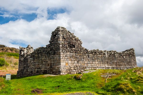 Doon FortFairy fort / earthen ringfort · 762 yd
 Morett Castle (in ruins)House, fortified house · 926 yd
 Morett Church (in Ruins)Church · 946 yd
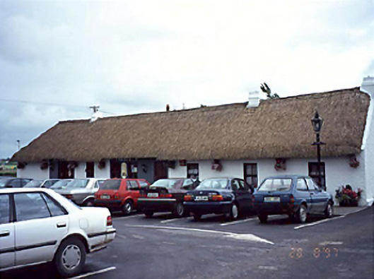 farm housefarm house · 1148 yd
 Coolbanagher Castle (ruins)Castle · 1.1 mi
 Pedunculate OakPedunculate Oak · 1.2 mi
 Giant SequoiaGiant Sequoia · 2.2 mi
 Rock of DunamaseCastle · 2.9 mi
 Rock of Dunamase InformationVisitor information · 3.0 mi
 Friary (in Ruins) GraveyardReligious house, unclassified · 4.1 mi
 Burial Ridge of MaryboroughMemorial · 4.5 mi
Other information
Photo: Credit not shown in the picture search · Rights wording not checked; contact us if this picture should be removed