What is recorded here
Moorock holds a thirty-five metre earthen ring where a shallow bank and deep flat ditch still mark the edge of a forgotten home. The eastern causeway invites entry across the ditch, suggesting people once crossed that exact line without hesitation. A field fence now cuts the western side, reminding us that ordinary life has repeatedly overlaid the ancient boundary. The fort remains visible enough to walk, measure and imagine, even though its original residents have disappeared into time.
On a slight rise in undulating countryside. Circular area (diam 35m N-S) enclosed by an earthen bank (Wth 1.9m; int. H 0.5m) with wide flat bottomed fosse (Wth 2.8m; ext. D 0.8m; int. D 2m) and causewayed entrance (Wth 4.2m) at E. No definite evidence of an external bank, field fence intersects W side of site.
The above description is derived from the published 'Archaeological Inventory of County Offaly' (Dublin: Stationery Office, 1997). In certain instances the entries have been revised and updated in the light of recent research.
Date of upload: 23 May 2011
The monument record does not grant public access. Check the route and ask the landowner before entering private land.
- What survives
- Recorded monument
Places near here
 BarrowBarrow, ring-barrow · 506 yd
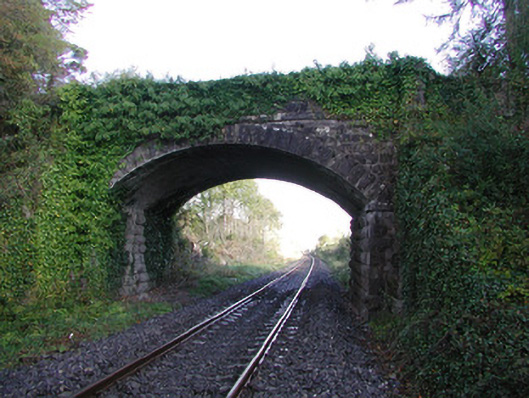 Moorock Bridgebridge · 555 yd
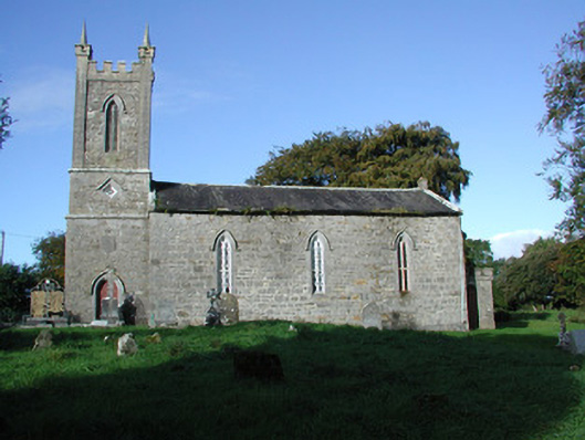 Liss Church (Lemanaghan)church/chapel · 750 yd
 Crannog in SpringparkCrannog · 1548 yd
 Castle ArmstrongHouse, fortified house · 1.4 mi
 Inchaloon IslandIslet · 1.4 mi
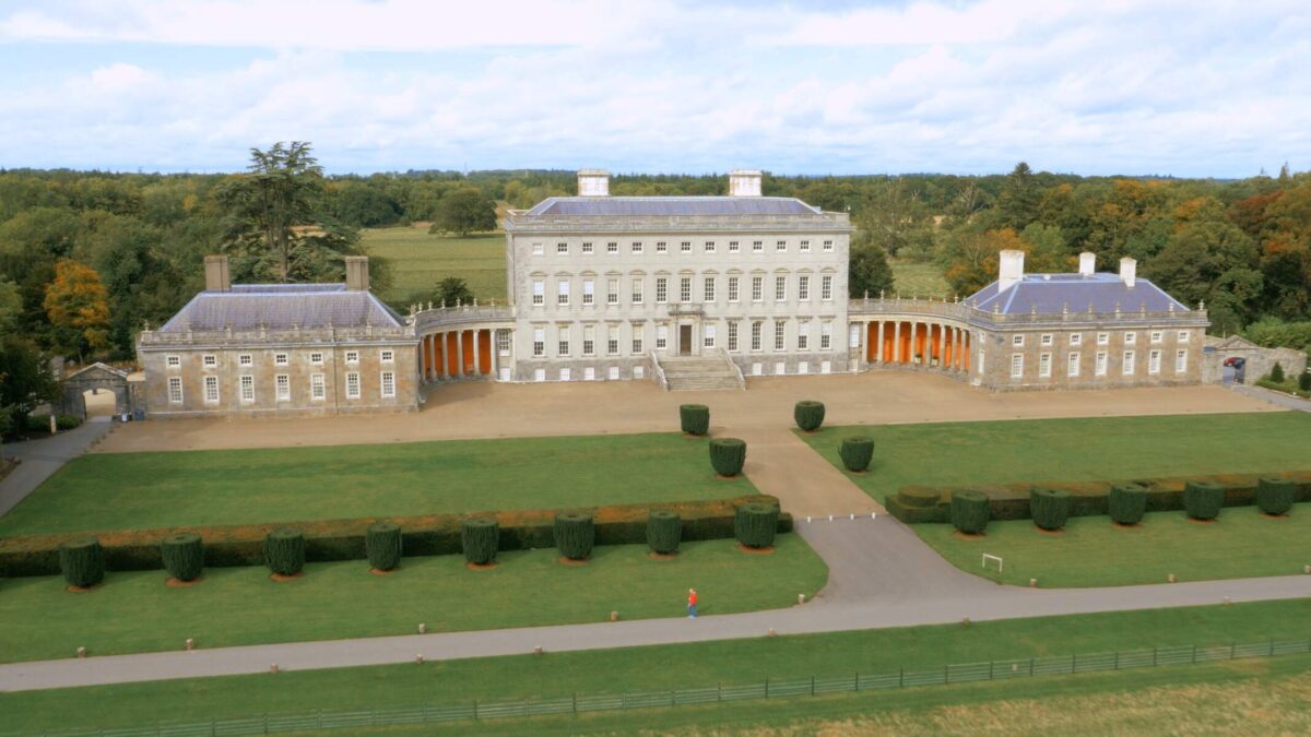 Bawn in Castletown (ballycowan By.)Bawn · 2.3 mi
 Roughan HillMountain / peak · 2.7 mi
 European ashEuropean ash · 3.1 mi
 Clara Bog BoardwalkHeritage attraction · 3.4 mi
 Moate HillMountain / peak · 4.2 mi
 The Bob Traynor GalleryGallery · 4.4 mi