
What is recorded here
Located on a slight rise in low-lying poorly drained area. Low flat topped circular mound (diam. 6m; ext. H 1m) enclosed by wide berm (Wth 2m), shallow inner fosse and two external banks of earth and stones with intervening fosse. Impossible to examine or measure site due to dense overgrowth.
The above description is derived from the published 'Archaeological Inventory of County Offaly' (Dublin: Stationery Office, 1997). In certain instances the entries have been revised and updated in the light of recent research.
Date of upload: 23 May 2011
A Neolithic ring-barrow, dated to approximately 2500–2000 BCE, characterized by its circular mound and enclosing berm with external banks. Such monuments are significant as early funerary and ceremonial structures, reflecting communal burial practices and social organization in prehistoric Britain.
The monument record does not grant public access. Check the route and ask the landowner before entering private land.
- What survives
- Recorded monument
Places near here
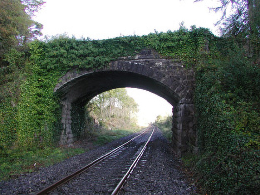 Moorock Bridgebridge · 347 yd
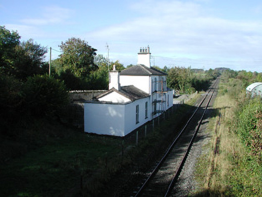 Ballycumber Railway Stationrailway station · 974 yd
 Crannog in SpringparkCrannog · 1631 yd
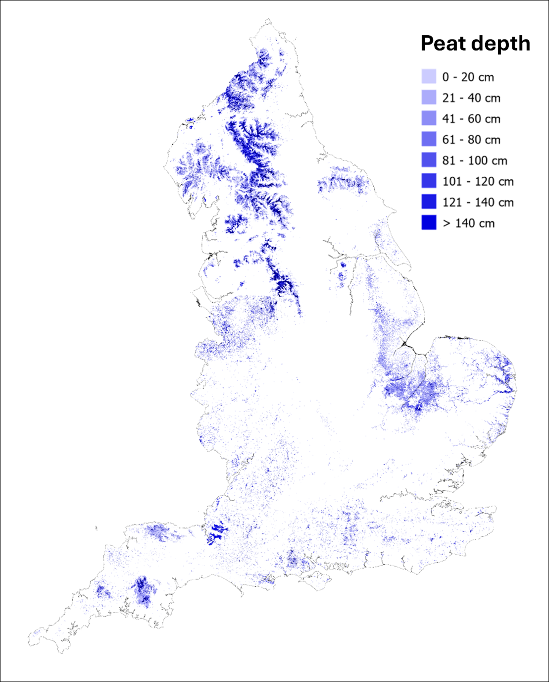 StructureStructure, peatland · 1748 yd
 Inchaloon IslandIslet · 1.5 mi
 Castle ArmstrongHouse, fortified house · 1.6 mi
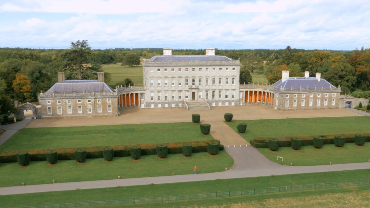 Bawn in Castletown (ballycowan By.)Bawn · 2.5 mi
 Roughan HillMountain / peak · 2.5 mi
 European ashEuropean ash · 3.4 mi
 Clara Bog BoardwalkHeritage attraction · 3.5 mi
 Moate HillMountain / peak · 3.9 mi
 The Bob Traynor GalleryGallery · 4.1 mi
Other information
Photo: Credit not shown in the picture search · Rights wording not checked; contact us if this picture should be removed