
What is recorded here
Located on flat poorly drained land. Raised circular platform(18m N/S; 19m E/W; ext.H. 0.50m) defined by a scarp with no evidence of an outer fosse or entrance feature. Lack of piled timbers would argue against crannog classification.
The above description is derived from the published 'Archaeological Inventory of County Offaly' (Dublin: Stationery Office, 1997). In certain instances the entries have been revised and updated in the light of recent research.
Date of upload: 23 May 2011
The monument record does not grant public access. Check the route and ask the landowner before entering private land.
- What survives
- Recorded monument
Places near here
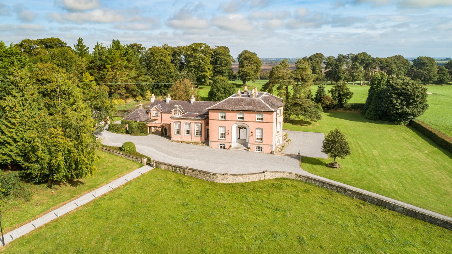 Bellair Housecountry house · 797 yd
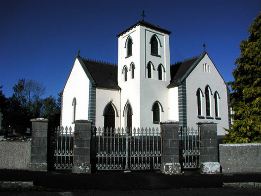 Saint Manchin's Catholic Churchchurch/chapel · 877 yd
 ToberneevaHoly well · 1315 yd
 IndicatedFairy fort / earthen ringfort · 1500 yd
 Castle ArmstrongHouse, fortified house · 1543 yd
 Lemanaghan CastleCastle, tower house · 2.7 mi
 Clara Bog BoardwalkHeritage attraction · 4.2 mi
 Moate HillMountain / peak · 4.3 mi
 The Bob Traynor GalleryGallery · 4.4 mi
 Charles BianconiMemorial · 4.5 mi
 Cocta HillMountain / peak · 4.7 mi
 European ashEuropean ash · 5.2 mi
Other information
Photo: Credit not shown in the picture search · Rights wording not checked; contact us if this picture should be removed