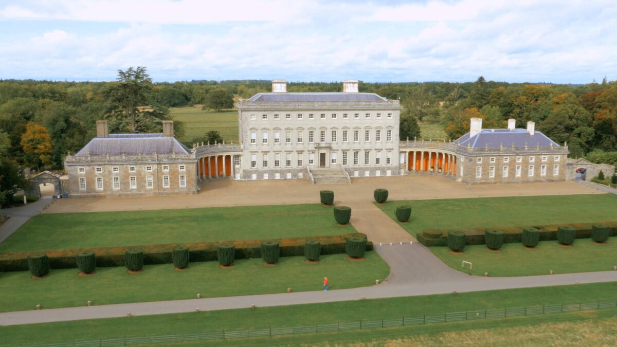
What is recorded here
Castle Wetherall still stands beside a laneway whose walls absorb fragments of a vanished bawn, including a small circular tower that once flanked the entrance. The lane drops toward the medieval Deerpark, where an old stone boundary may still mark the park's original limit. What is missing has not disappeared; it has been swallowed by the road, rebuilt into the lane, or forgotten by the people who now pass it without thinking.
Possible bawn area located around Castle Wetherall of which partial remains survive incorporated into laneway to the S and SE of the castle (OF007-051). This old laneway leads down to the medieval Deerpark which is now a townland defined by a stone wall which may be the original enclosing element around the deerpark. On the first ed. OS 6-inch map there is a small circular building incorporated into the lane way to the E of the castle. This building may have been a flanking tower of the bawn wall that enclosed the castle. Today the wall of the laneway kicks out indicating the line of this levelled tower.
Compiled by: Caimin O'Brien.
Date of upload: 23 May 2011
The monument record does not grant public access. Check the route and ask the landowner before entering private land.
- What survives
- Recorded monument
Places near here
 Farranavilla Grave YardBurial ground · 193 yd
 Mound in Deerpark (ballycowan By.)Mound · 711 yd
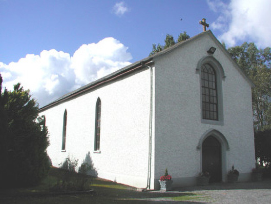 Saint Patrick's Catholic Churchchurch/chapel · 1011 yd
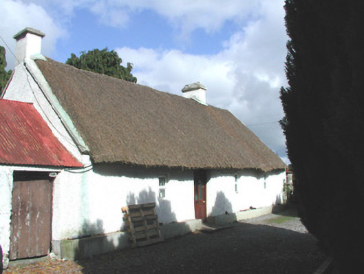 farm housefarm house · 1233 yd
 Inchaloon IslandIslet · 1.7 mi
 Clara Bog BoardwalkHeritage attraction · 2.2 mi
 Castle ArmstrongHouse, fortified house · 2.5 mi
 European ashEuropean ash · 2.9 mi
 Lemanaghan CastleCastle, tower house · 3.0 mi
 HawthornHawthorn · 3.2 mi
 Cocta HillMountain / peak · 3.5 mi
 ToberaskeenSpring · 3.8 mi
Other information
Photo: Credit not shown in the picture search · Rights wording not checked; contact us if this picture should be removed