
What is recorded here
Indicated is a holy well in County Kildare, Ireland, hidden beneath pasture and livestock tracks near the River Barrow. It may have belonged to St. Evin before Lord Henry Moore enclosed it, but that history has faded into mud, ash and briar. What remains is a sunken rectangular hollow, waterlogged and forgotten, where the boundary between sacred memory and ordinary land has blurred beyond recognition.
At the W-foot of a moderately steep pasture slope, some 35m E of a small SW-flowing stream which feeds the River Barrow to the W. According to O’Donovan writing in the OSL in 1837 (Herity 2002, 127 [114]), ‘The well near the site of the Monastery [KD026-001----], and which, in all probability anciently bore the name of St. Evin, is now called Lord Henry Moore’s Well, because it was enclosed by him. The location indicated on the OS 6-inch mapping is a large rectangular sunken area (30m NE-SW; 20m NW-SE; D 1-1.8m), the perimeter of which is overgrown with ash and briar, and partly enclosed on the E and W sides by a low denuded, earthen bank (ext. H 0.2-0.4m; Wth 2-2.5m). The interior is waterlogged and heavily poached by livestock, and there is no obvious trace of a spring/well.
Compiled by: Gearóid Conroy
Date of upload: 24 August 2012
The monument record does not grant public access. Check the route and ask the landowner before entering private land.
- What survives
- Recorded monument
Places near here
 The ClumpWood · 266 yd
 European YewEuropean Yew · 419 yd
 Font in Mooreabbey DemesneFont · 571 yd
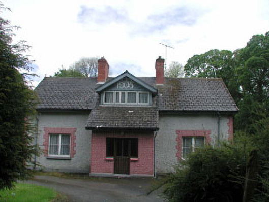 Moore Abbeyhouse · 640 yd
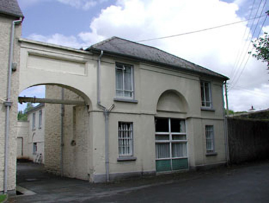 Grove Houseoutbuilding · 746 yd
 Enclosure in Clogheen (monasterevin Ed)Enclosure · 1238 yd
 Bawn in Lackagh BegBawn · 3.7 mi
 Lea Castle (in ruins)Castle, Anglo-Norman masonry castle · 3.9 mi
 Church (in Ruins), GraveyardChurch · 4.3 mi
 Bog Lake WalkWalking route · 5.9 mi
 Derryounce Walk (Yellow Loop)Walking route · 6.2 mi
 Bithia Mary CrokerMemorial · 6.8 mi
Other information
Photo: Credit not shown in the picture search · Rights wording not checked; contact us if this picture should be removed