
What is recorded here
Near the top of a SW-facing pasture slope. Visible on an aerial photograph (GSAP N213) as the cropmark of a possible circular enclosure. No surface trace was visible in 1986 (SMR file).
Compiled by: Gearóid Conroy
Date of upload: 28 August 2012
The monument record does not grant public access. Check the route and ask the landowner before entering private land.
- What survives
- Recorded monument
Places near here
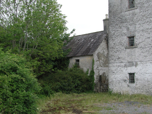 Monasterevin Charter Schoolhouse · 565 yd
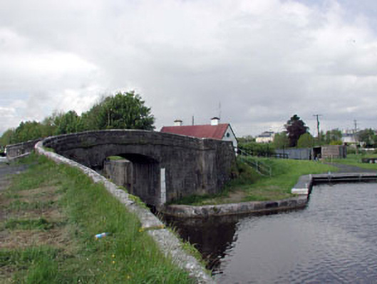 foot bridgefoot bridge · 693 yd
 European YewEuropean Yew · 897 yd
 Font in Mooreabbey DemesneFont · 1019 yd
 IndicatedHoly well · 1238 yd
 The ClumpWood · 1251 yd
 Lea Castle (in ruins)Castle, Anglo-Norman masonry castle · 3.2 mi
 CastleCastle, ringwork · 3.2 mi
 Church (in Ruins), GraveyardChurch · 3.6 mi
 Bog Lake WalkWalking route · 5.2 mi
 Emo CourtHeritage attraction · 5.4 mi
 Derryounce Walk (Yellow Loop)Walking route · 5.5 mi
Other information
Photo: Credit not shown in the picture search · Rights wording not checked; contact us if this picture should be removed