
What is recorded here
Indicated is a forgotten rectangular fort in County Cavan, marked on maps since 1836 but reduced to a shallow earthen rim and a vanished entrance. It is not a grand showpiece; it is a small human boundary drawn in soil, now half-erased by time and use. What remains is enough to suggest that people once shaped the land, separated inside from outside, and then disappeared from the story the land tells.
Marked 'Fort' on OS 1836 and 1876 eds. A raised, approximately rectangular area (int. dims. 18.1m NW-SE; 18.3m SW-SE) enclosed by a much-denuded earthen bank, which only rises above the interior at NW, and a fosse. NW corner is ill-defined. Original entrance not recognisable.
The above description is derived from the published 'Archaeological Inventory of County Cavan' (Dublin: Stationery Office, 1995). In certain instances the entries have been revised and updated in the light of recent research.
Date of upload/revision: 22 December 2008
The monument record does not grant public access. Check the route and ask the landowner before entering private land.
- What survives
- Recorded monument
Places near here
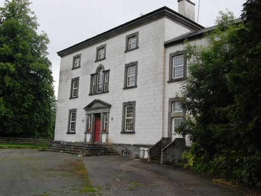 Bingfield Housecountry house · 930 yd
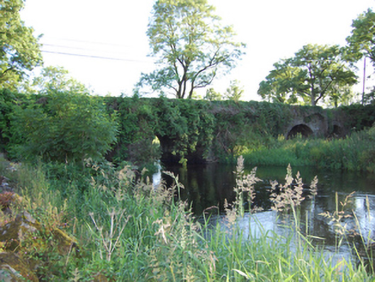 Bellahillan Bridgebridge · 1359 yd
 Lismore CastleCastle, unclassified · 1.0 mi
 LismoreFairy fort / earthen ringfort · 1.1 mi
 Castle CosbyCastle, unclassified · 1.1 mi
 Lismore DemesneForest · 1.3 mi
 St. Felimys WellHoly well · 1.4 mi
 SycamoreSycamore · 1.4 mi
 DrumcarbanMountain / peak · 1.8 mi
 BellvilleMountain / peak · 1.9 mi
 Cornafean GFCMemorial · 2.4 mi
 Rambling at Farnham EstateVisitor information · 3.0 mi
Other information
Photo: Credit not shown in the picture search · Rights wording not checked; contact us if this picture should be removed