What is recorded here
Described by Kinahan (1884, 230 (stone B)) as 'a large roundish mass of granite, its more conspicuous face sloping nearly due south, and on it are five cups more or less obliterated by weathering.' The location indicated by Kinahan (1884, 231) was inspected by ASI in 1990, however this stone was not located.
Compiled by: Claire Breen
Date of upload: 21 August 2013
Likely dating to the Neolithic or Bronze Age, this rock art may have had ritual or symbolic significance, possibly linked to water sources or territorial markers. Cup marks in such contexts are often associated with ceremonial practices or fertility symbolism in prehistoric Europe.
The monument record does not grant public access. Check the route and ask the landowner before entering private land.
- What survives
- Recorded monument
Places near here
 Enclosure in Mongnacool LowerEnclosure · 790 yd
 Enclosure in Crone MoreEnclosure · 981 yd
 Abbey (in Ruins), Grave YardChurch · 1.2 mi
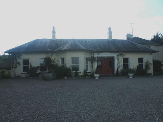 Whaleyabbey Househouse · 1.3 mi
 Meeting of the WatersHeritage attraction · 1.8 mi
 (Site of) CastleCastle, unclassified · 2.7 mi
 Site of CastleCastle, unclassified · 2.9 mi
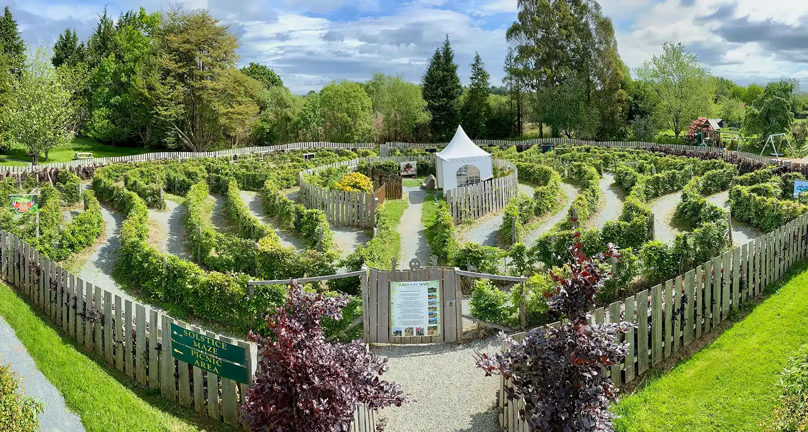 Greenan Farm Museum & MazeMuseum · 3.0 mi
 Silver FirSilver Fir · 3.2 mi
 Avondale WoodWood · 3.2 mi
 Woodenbridge World War One MemorialMemorial · 3.5 mi
 Ballinacor MountainMountain / peak · 4.0 mi