What is recorded here
Fairy fort / ringfort in Money is a fairy fort or ringfort in Money, County Westmeath, Ireland. It sits on a prominent hillock with excellent views to the west, north, and northeast, while Tully Hill overlooks the site to the south and Mullaghmeen and Lough Sheelin are visible to the east and north respectively. No surface remains are visible of the levelled ringfort, which is depicted on all editions of the Ordnance Survey six-inch maps as a roughly circular-shaped earthwork approximately 36 metres in diameter north-south and 29 metres east-west. A modern earthen mound in the northwest corner of the field may have been constructed with material from the levelled ringfort, and another ringfort is located 140 metres to the northeast.
Situated on top of a prominent hillock with excellent views to W, N and NE, overlooked by Tully Hill to S. Mullaghmeen visible to E and Lough Sheelin visible to N. Ringfort (WM001-009---) located 140m to NE. No surface remains visible of levelled ringfort depicted on all editions of the OS 6-inch maps as a roughly circular-shaped earthwork (approx. diam. 36m N-S; 29m E-W). A modern earthen mound in NW corner of field may have been constructed with earthen material from levelled ringfort.
Compiled by: Frank Coyne and Caimin O'Brien
Date of upload: 15 November 2016
The monument record does not grant public access. Check the route and ask the landowner before entering private land.
- What survives
- Recorded monument
Places near here
 IndicatedFairy fort / earthen ringfort · 339 yd
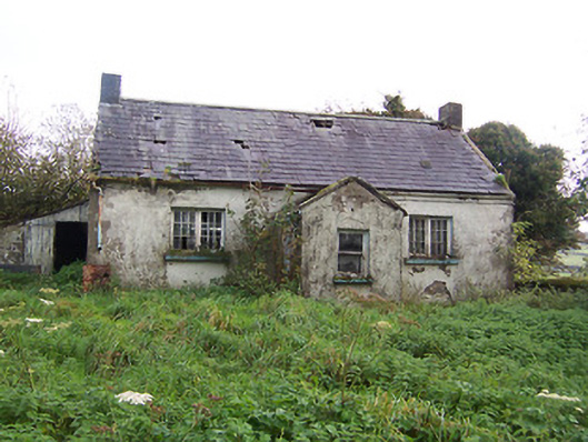 Tullystown National Schoolschool · 707 yd
 HacuredFairy fort / earthen ringfort · 807 yd
 CastleCastle, motte · 831 yd
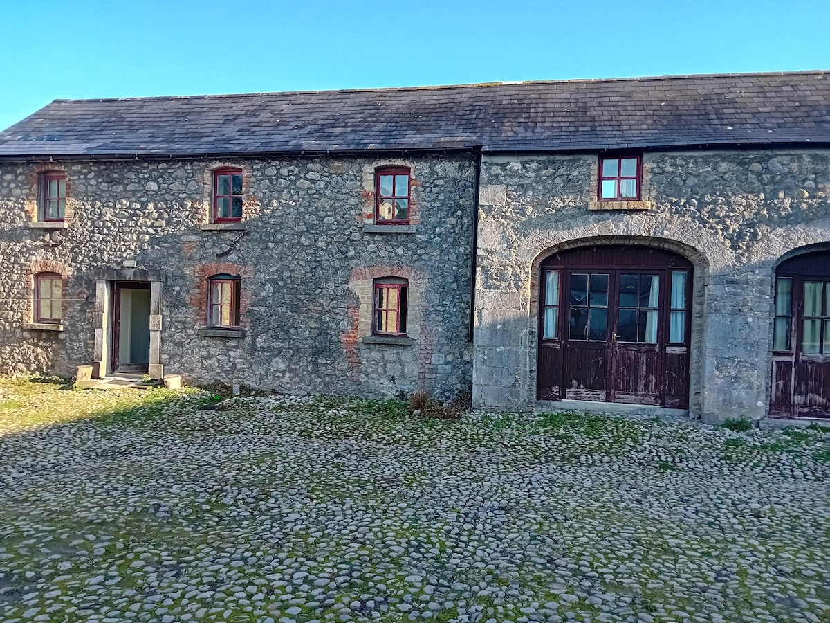 Bawn in TullystownBawn · 961 yd
 Tullystown Househouse · 1013 yd
 MullaghmeenMountain / peak · 1.5 mi
 Fox CovertForest · 1.7 mi
 Mullaghmeen White WalkWalking route · 1.8 mi
 Muldarry PointHeadland · 2.1 mi
 Ross BayBay · 2.1 mi
 Mullaghmeen Red WalkWalking route · 2.1 mi