What is recorded here
Three pits emerged beside a fulacht fia near Rathcormac, revealing scorched clay, charcoal and a cordoned urn. The urn lacked cremated bone but carried carbonised matter, suggesting domestic rather than funerary use. What is clear is that the site preserved ordinary Bronze Age activity: heat, food or drink, discard and burial in soil. The bypass brought the pits into view, not into invention.
Monitoring along previously untested and unresolved locations on the route of the recently constructed N8 Rathcormac-Fermoy Bypass uncovered three potential pits on a rise, c. 130m to the SE of a fulacht fia (CO044-106----). The easternmost pit (max. L 1.15m; Wth 0.9m) was suboval in plan and was orientated NE-SW. Two potential fills were recorded on the pit's surface: the uppermost deposit comprised scorched, sandy clay and this overlay a dark, blackish-brown sandy clay containing moderate amounts of charcoal flecks. A second smaller pit (0.6m N-S x 0.4m E-W) which was subcircular in shape was situated 3.5m to the WSW. This pit contained two fills: a mid-brown sandy clay containing occasional charcoal flecks and small sub-angular stones and a basal fill of a dark-brown sandy clay with moderate amounts of charcoal flecks. Incised sherds of prehistoric pottery were detected on the surface of this feature. Analysis confirmed that the sherds represented a cordoned urn dating to the middle Bronze Age and typical of a type used in funerary contexts. However, according to the excavator (Dunne 2005, 7), the absence of cremated bone and the presence of carbonised matter on the sherds suggests that the urn was used in a domestic context. A third feature (1.75m E-W by 1.6m N-S) was located 4.5m to the WNW and comprised an irregularly shaped spread of charcoal-rich material. (Dunne 2005; 2007a, 55-6)
The above description is derived from 'The Archaeological Inventory of County Cork. Volume 5' (Dublin: Stationery Office, 2009).
Date of upload: 22 December 2009
The monument record does not grant public access. Check the route and ask the landowner before entering private land.
- What survives
- Recorded monument
Places near here
 IndicatedHouse, vernacular house · 1037 yd
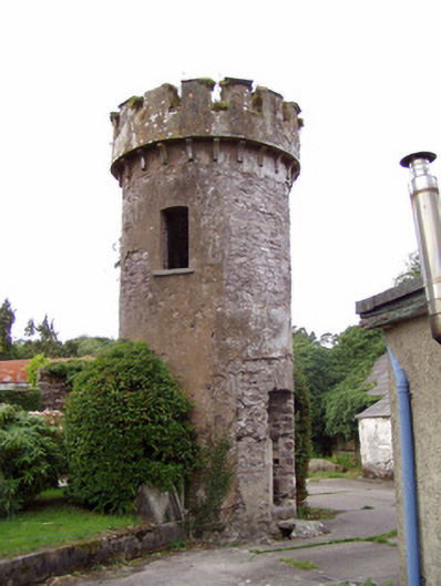 Ballynahina Housefolly · 1192 yd
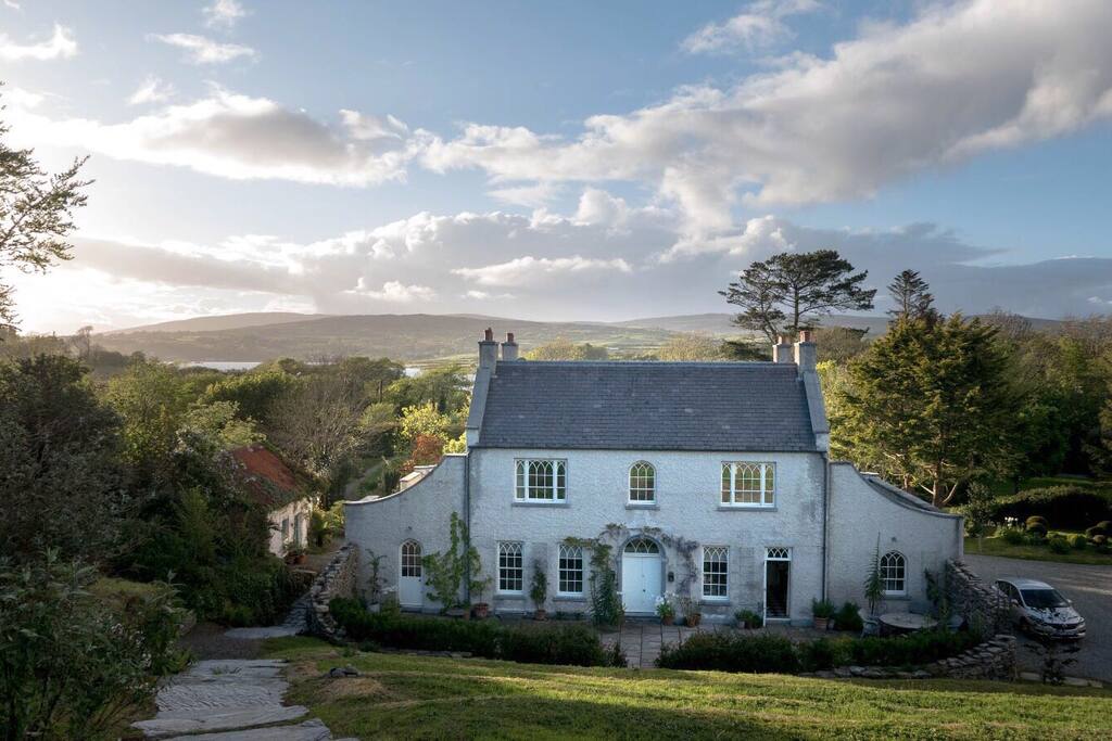 Hearth in CorrinHearth · 1758 yd
 Enclosure in CorrinEnclosure · 1.2 mi
 Corrin WoodsWood · 1.4 mi
 Coolmucy WoodWood · 2.0 mi
 Cappagh XViewpoint · 2.9 mi
 Graveyard in FermoyGraveyard · 3.0 mi
 Kent BridgeMemorial · 3.0 mi
 Old Railway ViaductViewpoint · 3.6 mi
 Carrigabrick Castle (in Ruins)Castle, tower house · 3.6 mi
 Cregg Castle (in Ruins)Castle, tower house · 3.7 mi