What is recorded here
On flat poorly drained grasslaand on the floodplains of the River Suir which is located 60m to W, nearby ringwork and bailey (TS052-0090----) 335m to SE and ringfort (TS52-007----) 360m to E. Well-preserved moated site consisting of a rectangular area (int. dims. 77m NE-SW; 56m NW-SE ) enclosed by a wide flat-topped earth and stone bank (Wth 3m crest; 8m base; int. H 1-1.5m; ext. H 1.5m) and wide flat-bottomed waterlogged outer fosse (Wth 4m base; 8m top; ext. D 0.6m) with widened gap (Wth 8m) in bank at SW. Modern gap in bank in NE side near E angle of bank. Enclosing bank is best preserved along SE and SW sides and outer fosse also best preserved from E through S to W elsewhere it has been filled in. No other features visible. Fording point of the River Suir known as Aughnakilleen located 60m to N as indicated on latest ed. OS 6-inch map.
Compiled by: Jean Farrelly
Date of upload: 26 August 2011
The monument record does not grant public access. Check the route and ask the landowner before entering private land.
- What survives
- Recorded monument
Places near here
 Enclosure in MonalumperaEnclosure · 378 yd
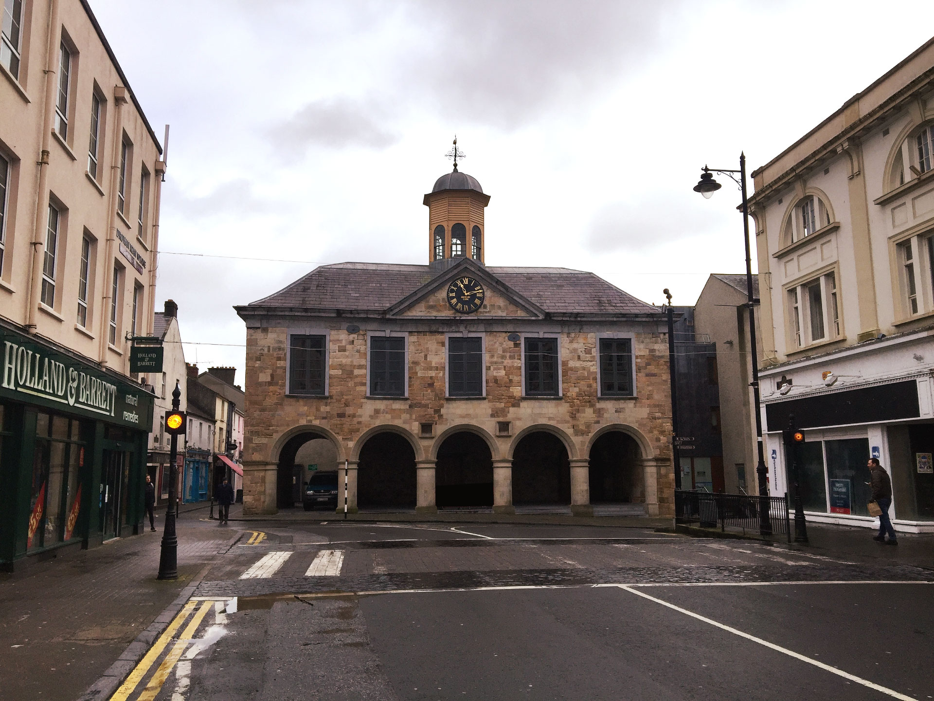 IndicatedCastle, ringwork and bailey · 383 yd
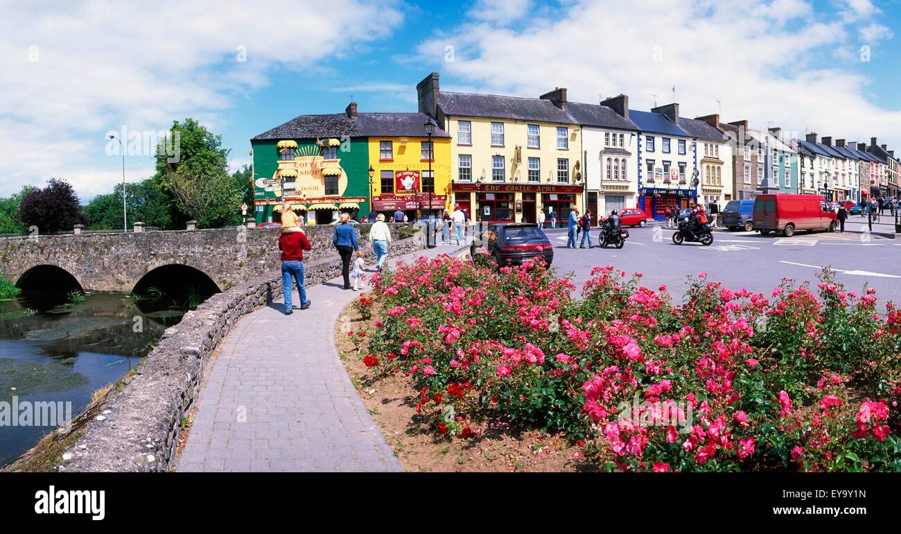 ToberaphaddreenHoly well · 850 yd
 Indicated, RaheenbegCastle, ringwork · 1108 yd
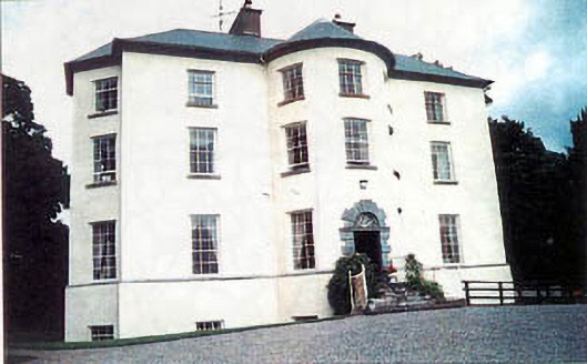 Longfield Housecountry house · 1542 yd
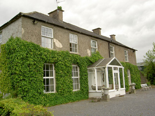 Ardmayle Housecountry house · 1.3 mi
 Clonoulty HillMountain / peak · 2.4 mi
 Killough Hill (site of)Mountain / peak · 3.7 mi
 Drum WoodWood · 4.0 mi
 Wych ElmWych Elm · 4.6 mi
 Rock of CashelHeritage attraction · 4.9 mi
 Cormac's ChapelHeritage attraction · 4.9 mi