What is recorded here
Fairy fort / earthen ringfort in Mohober is a fairy fort or earthen ringfort in Mohober, County Tipperary, Ireland. It occupies a raised circular area thirty-five to thirty-eight metres across on a south-facing slope, enclosed by a one-to-two-metre scarp and an outer ditch with a possible causewayed entrance gap at the east. The site sits in reseeded grassland with extensive views from east through south to west, while higher ground rises to the north.
In reseeded grassland on a S-facing slope of rising ground in upland area with good extensive views from E through S to W, higher ground to N. Nearby possible enclosure (TS055-076----) 120m to NW and ringfort (TS055-056----) 200m to SE. Raised circular area (int. diam. 35m NW-SE; 38m E-W) enclosed by a bank which has been mainly reduced to a scarp (H 1-2m) and outer fosse (base Wth 1.5-2.5m; top Wth 4- 6m; ext. D 0.7-1.4m) with possible causewayed entrance gap (Wth 1.7m) at E. Cattle poaching on external face of scarp at SE otherwise monument is in a fair to good condition. Field boundaries to N and W have been removed and replaced with wire fencing. On 1840 ed. OS 6-inch map a field boundary running E-W intersects the ringfort at SW and SE, no remains of these field boundaries survive.
Compiled by: Jean Farrelly
Date of upload: 26 August 2011
The monument record does not grant public access. Check the route and ask the landowner before entering private land.
- What survives
- Recorded monument
Places near here
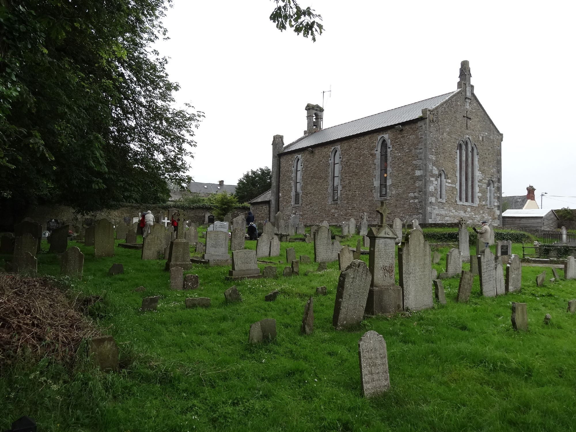 Church in GragaughChurch · 1043 yd
 RoadRoad, road/trackway · 1059 yd
 Enclosure in MohoberEnclosure · 1080 yd
 Bawn in LismalinBawn · 1.6 mi
 Site of ChurchChurch · 1.7 mi
 Pedunculate OakPedunculate Oak · 1.8 mi
 Black LocustBlack Locust · 1.9 mi
 Modeshil Castle (in ruins)Castle · 2.0 mi
 Knockuragh HillMountain / peak · 3.8 mi
 Warhouse HillMountain / peak · 3.8 mi
 Edmund Rice Heritage CentreMuseum · 4.8 mi
 Callan Co-operative Agricultural & Dairy Society Ltd.Memorial · 5.1 mi