What is recorded here
In grassland on a S-facing slope of rising ground in upland region with good views to S and higher ground to N. Nearby ringfort (TS055-056----) 100m to SW. Possible circular enclosure (diam. 46m N-S; 44m E-W) indicated by slight rise (Wth 4m; H 0.2m) of ground and external fosse (top Wth 6m; base Wth 4m; ext. D 0.2m) visible from W to N only, no other features visible. Indicated as a semi-circular arc on 1840 ed. OS 6-inch map and may be the remains of a cart track associated with an adjoining quarry immediately E of the enclosure.
Compiled by: Jean Farrelly
Date of upload: 26 August 2011
The monument record does not grant public access. Check the route and ask the landowner before entering private land.
- What survives
- Recorded monument
Places near here
 Enclosure in MohoberEnclosure · 840 yd
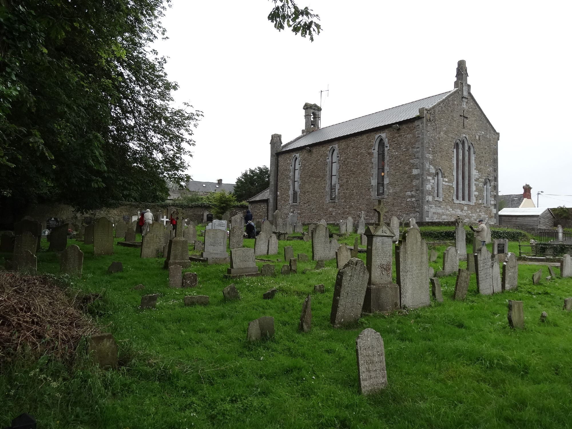 Church in GragaughChurch · 1269 yd
 RoadRoad, road/trackway · 1294 yd
 Pedunculate OakPedunculate Oak · 1.6 mi
 Bawn in LismalinBawn · 1.7 mi
 Black LocustBlack Locust · 1.8 mi
 Site of ChurchChurch · 1.9 mi
 Modeshil Castle (in ruins)Castle · 1.9 mi
 Knockuragh HillMountain / peak · 3.8 mi
 Warhouse HillMountain / peak · 3.9 mi
 Edmund Rice Heritage CentreMuseum · 4.7 mi
 Local LifeVisitor information · 5.0 mi