What is recorded here
Grave Yard sits on the SE slopes of the Dinin river valley, where rolling grassland opens into wide views and a stone wall encloses an irregular chamber for the dead. Crude markers row along the south side beside newer headstones, suggesting generations laid to rest beneath soil that has never stopped receiving them. The place feels less like a museum of loss than a living edge, where the valley keeps giving back space for memory and the church stands slightly off-centre, as if listening rather than commanding.
On the SE slopes of the Dinin river valley, in rolling grassland. There are good views across the valley. The church (KK010-078001-), is roughly N of centre within a stone walled graveyard of irregular plan (dim. N-S at W end c. 14m widening to c. 37m at E end; E-W c. 61m). The graveyard is entered via a gate at the N end of the W wall, with a stile immediately to the S. The OS Letters (1839) mention that the church has, 'a well frequented burying ground near it' (O'Flanagan 1930, vol. 1, 36-7 (12-13)). According to Carrigan (1905, vol. 3, 459), 'None of the head-stones in the graveyard are older than about 1750'. There are crude grave-markers in rows N-S along the S side of the graveyard. There are a small number of headstones which date from the 19th century onwards.
Compiled by: Jean Farrelly
Date of upload: 5 March 2019
The monument record does not grant public access. Check the route and ask the landowner before entering private land.
- What survives
- Recorded monument
Places near here
 Mohil GraveyardArchaeological place · 262 yd
 Cave of DunmoreCave · 314 yd
 Dunmore CavesCave · 323 yd
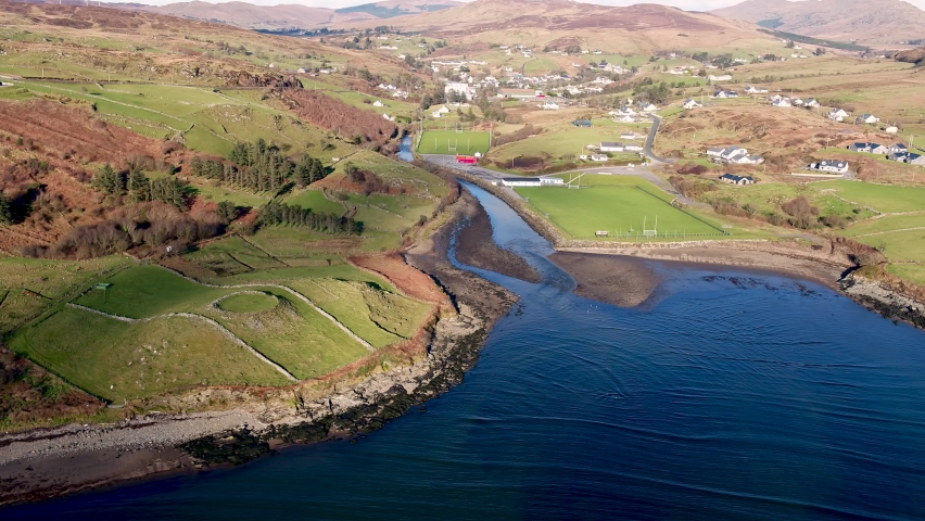 Mohil RingfortArchaeological place · 343 yd
 CastleCastle, tower house · 747 yd
 Galvin'sForest · 1372 yd
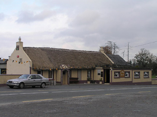 The Cavehouse · 1376 yd
 New Dinin Bridgebridge · 1398 yd
 Site of Kilmadum ChurchChurch · 1.0 mi
 Trinity WellSpring · 1.1 mi
 Jenkinstown ParkForest · 1.4 mi
 Edward BurkeMemorial · 1.5 mi