What is recorded here
Cahernagnaub is a heavily overgrown ringfort on an east-facing Cork slope, hiding a man-made underground passage within its stone-faced bank. The grassland setting and concealed passage suggest the fort was built to be seen from a distance but entered quietly, perhaps for storage, ritual or refuge when the land around it became crowded. Its preservation depends on that same overgrowth, which keeps the interior shadowed and the boundary soft against the hill.
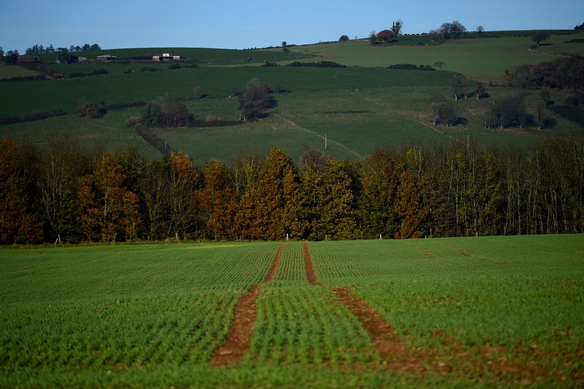
In grassland, on E-facing slope. Heavily overgrown circular area enclosed by earthen stone-faced bank. Man-made underground passage (CO141-075002-) in interior.
The above description is derived from the published 'Archaeological Inventory of County Cork. Volume 1: West Cork' (Dublin: Stationery Office, 1992). In certain instances the entries have been revised and updated in the light of recent research.
Date of upload/revision: 14 January 2009
Image provided by and copyright of Amanda Clarke 2016-2022 https://holywellscorkandkerry.com/
Cahernagnaub, Mohanagh is a circular earthen ringfort, likely dating to the early medieval period, characterized by a stone-faced bank and an interior man-made underground passage. Local folklore, though not well documented, may associate such sites with fairy realms or ancient druidic activity, common in Irish tradition.
The monument record does not grant public access. Check the route and ask the landowner before entering private land.
- What survives
- Recorded monument
Places near here
 Man-made underground passage (Site of)Man-made underground passage · 12 yd
 Fulacht FianFulacht fia · 361 yd
 Bridge in Carrigfadda (carbery West (e.d.) By.),gortnaclohyBridge · 529 yd
 Deelish Househouse · 1454 yd
 Heritage CentreMuseum · 1.7 mi
 Bawn in Oldcourt (carbery West (e.d) By.)Bawn · 1.7 mi
 Lough HyneVisitor information · 1.7 mi
 Monterey CypressMonterey Cypress · 2.0 mi
 Bishop MahonyMemorial · 2.0 mi
 Wild Atlantic WayVisitor information · 2.1 mi
 Site of CastleCastle, unclassified · 2.5 mi
 KnockomaghMountain / peak · 3.4 mi